Every county, on one map
Each circle is one county, sized and coloured by how many records the two federal files hold there: worked out or abandoned mine sites from the USGS mineral file, and shafts, adits, pits and mines from the historical topographic sheets. Click a circle to open that county page.
How to find out whether a working is under a property
A mine point in the federal file is a location, not a property line. The record that answers the question is the mine map: the survey the operator filed, showing the rooms, the shafts and the pillars. Those maps sit with the state mining agency and, for coal, with the federal repository.
- Start with the state mine map office below. Several states publish an online viewer keyed to a county, a quadrangle or an address.
- Ask the state abandoned mine land programme about subsidence, an open shaft or a mine fire. Reporting one is free and the programme is funded to deal with it.
- For coal, request the maps from the OSMRE National Mine Map Repository, which holds the filed underground mine maps for the whole country.
- Where the state runs mine subsidence insurance, a standard homeowner policy does not cover the damage and that programme is the only cover.
- OSMRE National Mine Map Repository (NMMR)The federal archive of maps of closed and abandoned surface and underground mines (data on more than 275,000 mines, 1790s to today), searchable by state, county, company and mine name; map images are not downloadable but are sent on request through the Map Request Form, nmmr@osmre.gov.
- OSMRE National Mine Map Repository program pageExplains what the repository holds, that images are available on request, and gives the contact nmmr@osmre.gov.
- OSMRE e-AMLIS public site (Abandoned Mine Land Inventory System)The federal inventory of abandoned coal mine land problems reported by state and tribal programs, with summaries and an advanced query by state and county of problem type, priority and reclamation status.
- OSMRE e-AMLIS program pageWhat the inventory is, what it counts, the problem type definitions and the data dictionary; questions to osm-amlis@osmre.gov.
- USGS USMIN, prospect and mine related features from topographic mapsMine shafts, adits, prospect pits, quarries and tailings digitised from historical USGS topographic maps, viewable on a web map and downloadable as a zipped shapefile for each state (https://mrdata.usgs.gov/usmin/state/usmin-PA.zip and so on for each two letter code), as KMZ per state, or the whole set from ScienceBase (USGS_TopoMineSymbols_ver10_Geodatabase.zip 142 MB, USGS_TopoMineSymbols_ver10_Shapefiles.zip 253 MB at https://www.sciencebase.gov/catalog/file/get/5a1492c3e4b09fc93dcfd574?name=USGS_TopoMineSymbols_ver10_Shapefiles.zip).
- USGS Mineral Resources Data System (MRDS)Reports on metallic and nonmetallic mineral deposits and mines with name, location, commodity and production status, downloadable whole as https://mrdata.usgs.gov/mrds/mrds-csv.zip (no systematic updates since 2011).
- BLM Mineral and Land Records System (MLRS) public reportsPublic mining claim reports (Geographic Report, Geographic Index Report, claim name and serial number index, serial register pages) with Privacy Act redactions; claims are recorded by meridian, township, range and section rather than by street address.
- BLM MLRS Mining Claims Geographic ReportThe report that lists active and closed federal mining claims for a chosen legal location (state, meridian, township, range).
- BLM MLRS program pageDescribes the system and links the Virtual Public Room at mlrs.blm.gov for map based claim research.
The towns with the most old workings inside their own limits
Both federal files carry a position for each record. Crossed with the Census town boundaries, 41,352 old mine sites and mapped mine features fall inside the limits of a town or city, and 666,422 inside a county. These are the sixty towns with the most, each one linking its own records page, drawn inside its own boundary.
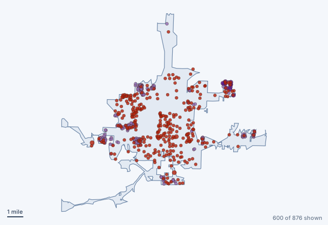 Joplin, Missouri593 old mine sites and 283 mapped features inside the limits
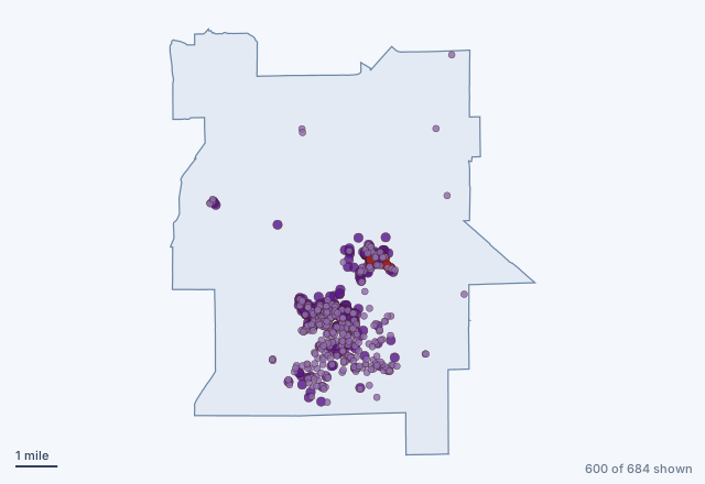 Mojave, California39 old mine sites and 645 mapped features inside the limits
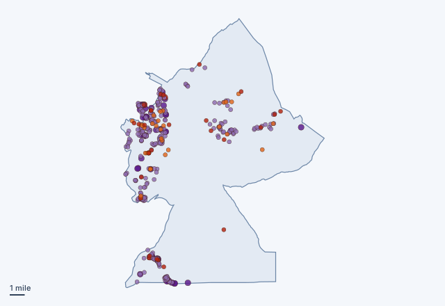 Bouse, Arizona64 old mine sites and 335 mapped features inside the limits
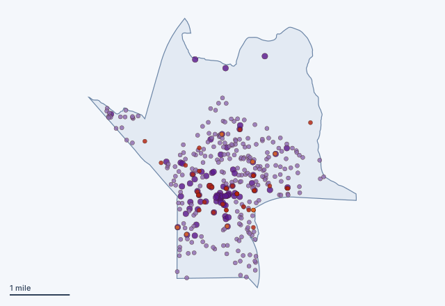 Tonopah, Nevada44 old mine sites and 322 mapped features inside the limits
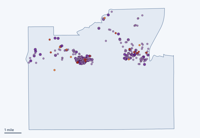 Rosamond, California21 old mine sites and 272 mapped features inside the limits
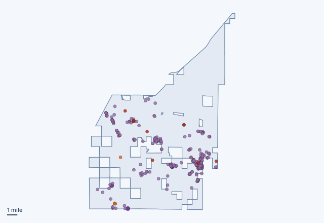 Fernley, Nevada12 old mine sites and 275 mapped features inside the limits
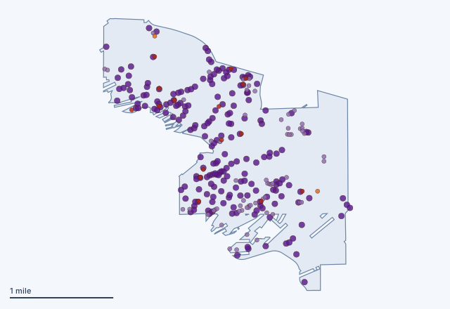 Black Hawk, Colorado18 old mine sites and 259 mapped features inside the limits
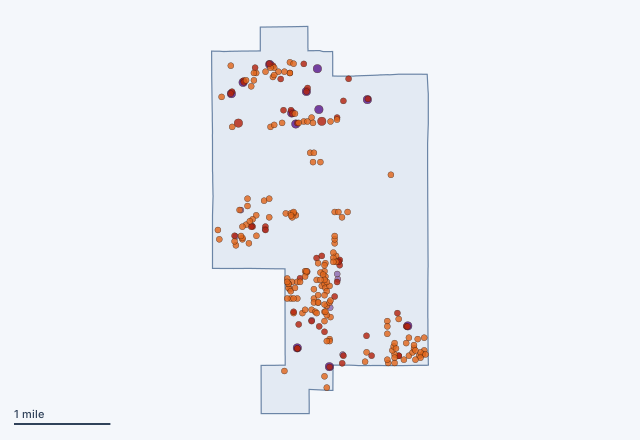 Iron River, Michigan220 old mine sites and 23 mapped features inside the limits
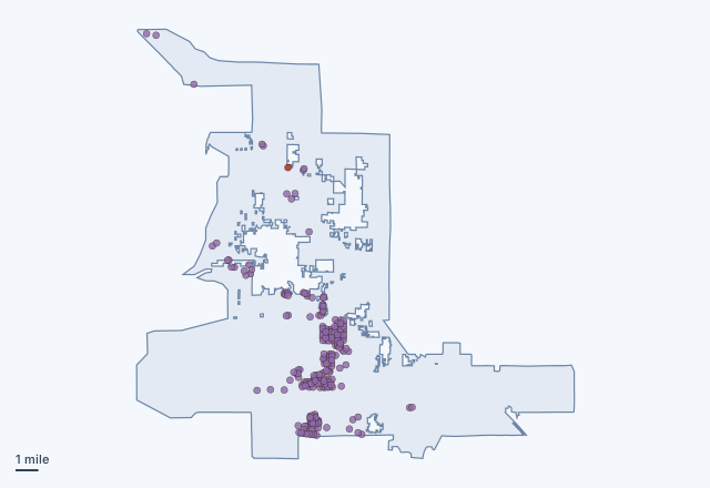 Las Vegas, Nevada1 old mine sites and 235 mapped features inside the limits
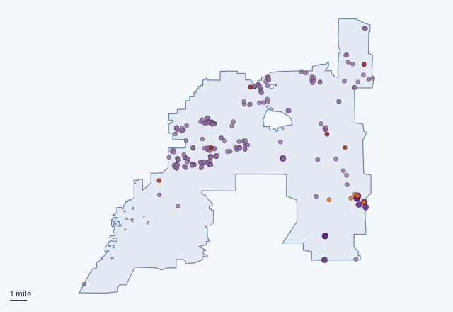 Henderson, Nevada13 old mine sites and 223 mapped features inside the limits
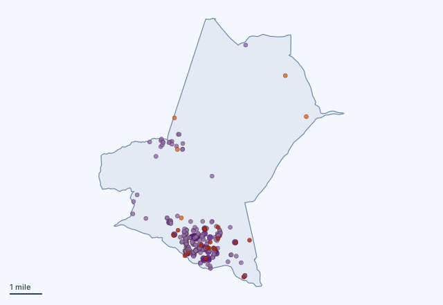 Benton, California23 old mine sites and 212 mapped features inside the limits
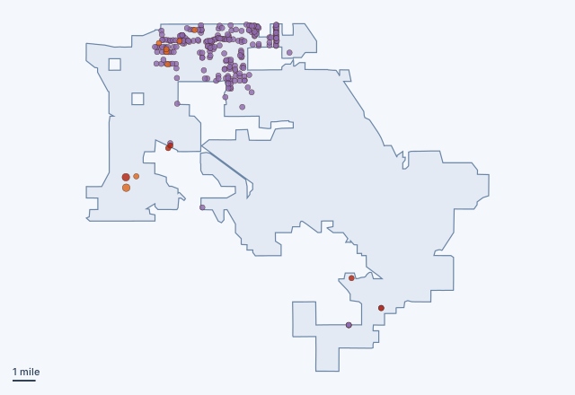 Casa Grande, Arizona13 old mine sites and 219 mapped features inside the limits
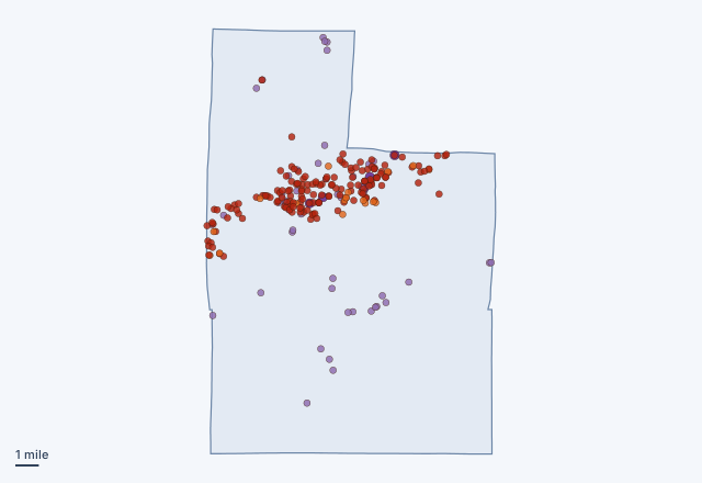 Hibbing, Minnesota169 old mine sites and 60 mapped features inside the limits
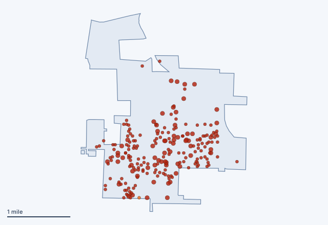 Granby, Missouri218 old mine sites and 0 mapped features inside the limits
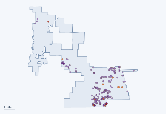 Yerington, Nevada11 old mine sites and 187 mapped features inside the limits
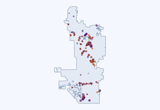 Phoenix, Arizona56 old mine sites and 138 mapped features inside the limits
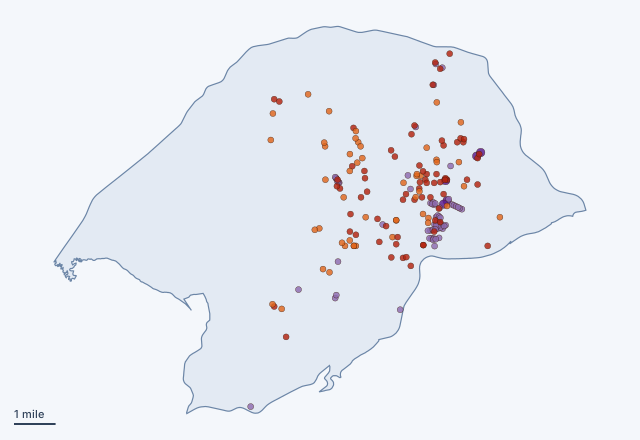 Ester, Alaska119 old mine sites and 69 mapped features inside the limits
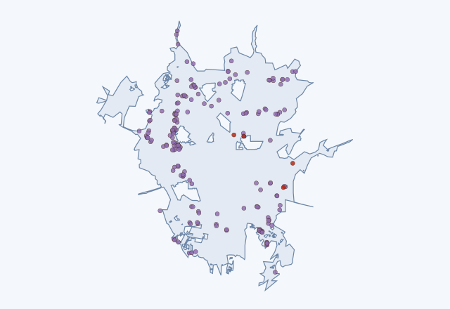 San Antonio, Texas4 old mine sites and 176 mapped features inside the limits
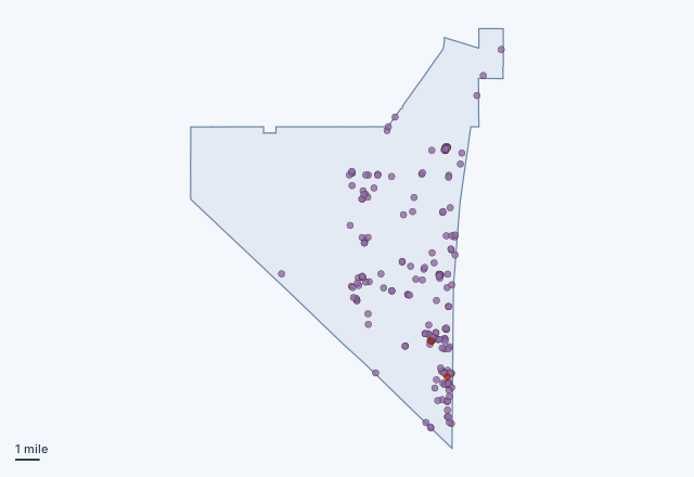 Amargosa Valley, Nevada2 old mine sites and 175 mapped features inside the limits
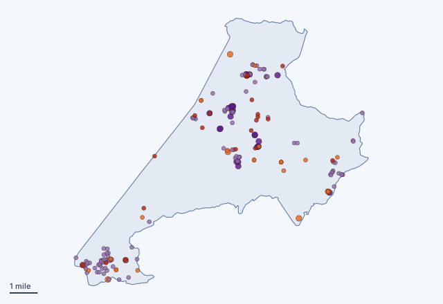 Clancy, Montana50 old mine sites and 125 mapped features inside the limits
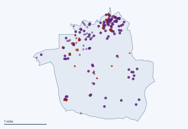 Alta, Utah30 old mine sites and 137 mapped features inside the limits
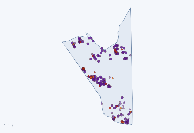 Johannesburg, California23 old mine sites and 143 mapped features inside the limits
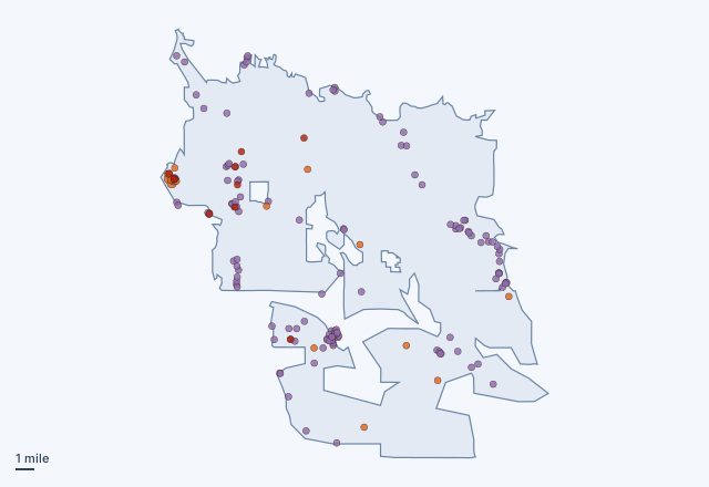 Tucson, Arizona26 old mine sites and 128 mapped features inside the limits
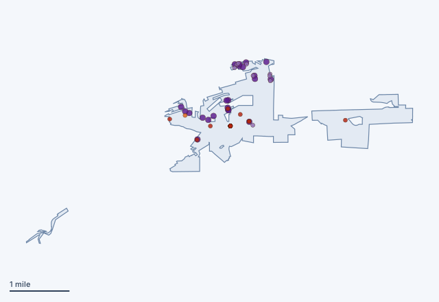 Idaho Springs, Colorado121 old mine sites and 31 mapped features inside the limits
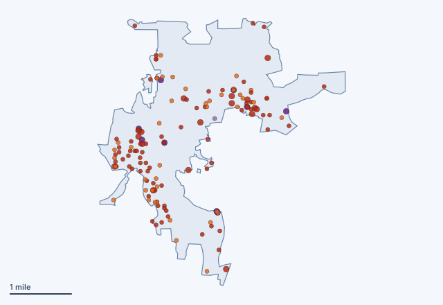 Grass Valley, California138 old mine sites and 10 mapped features inside the limits
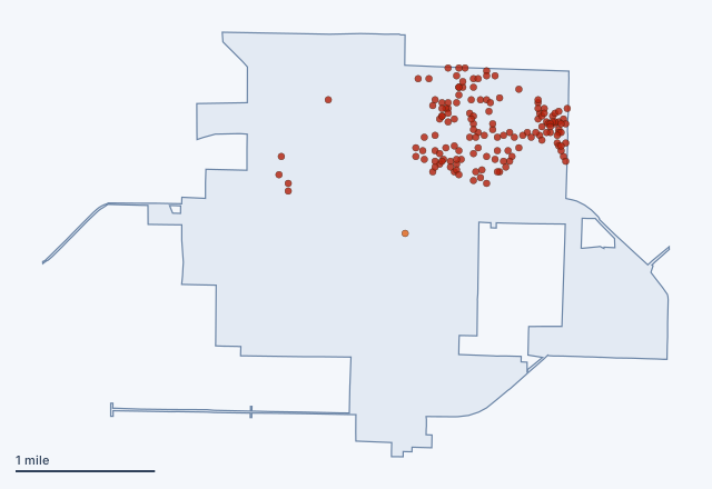 Aurora, Missouri145 old mine sites and 0 mapped features inside the limits
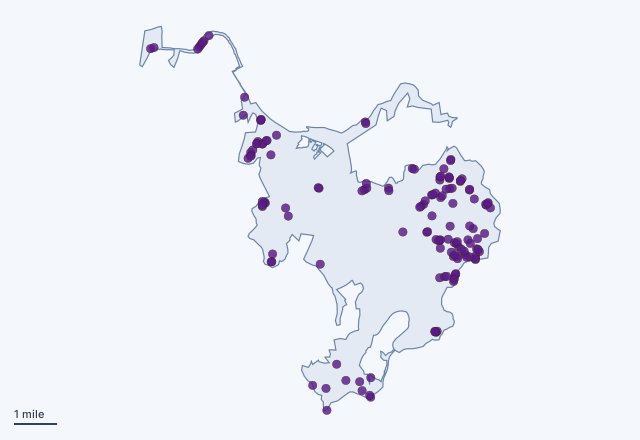 Pikeville, Kentucky0 old mine sites and 142 mapped features inside the limits
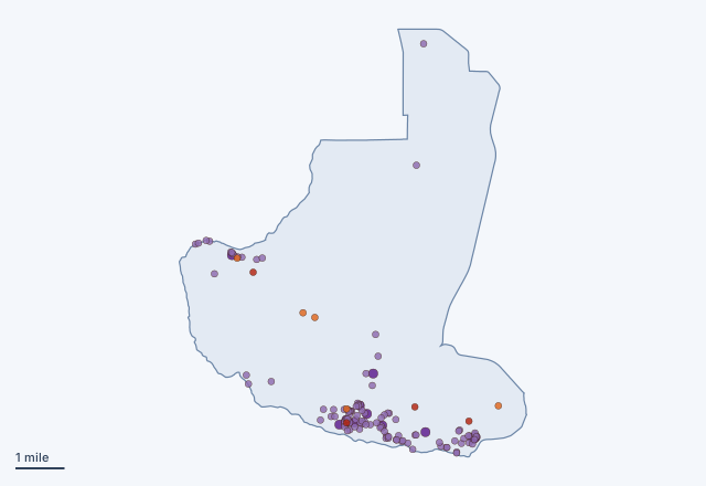 Ajo, Arizona9 old mine sites and 117 mapped features inside the limits
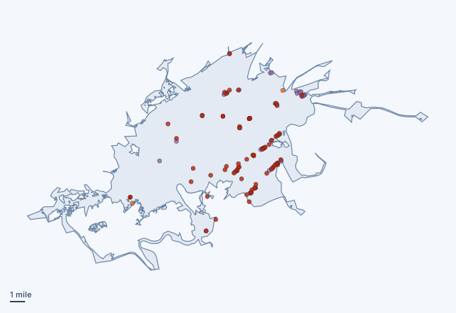 Knoxville, Tennessee68 old mine sites and 54 mapped features inside the limits
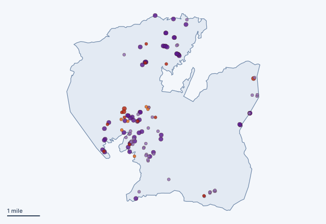 Lake Isabella, California20 old mine sites and 100 mapped features inside the limits
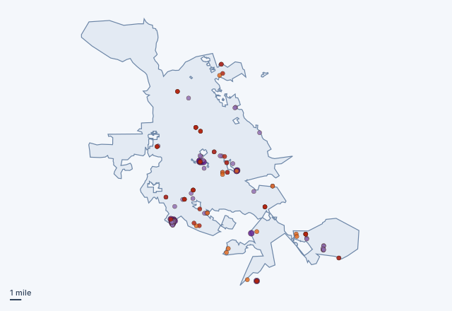 San Jose, California46 old mine sites and 73 mapped features inside the limits
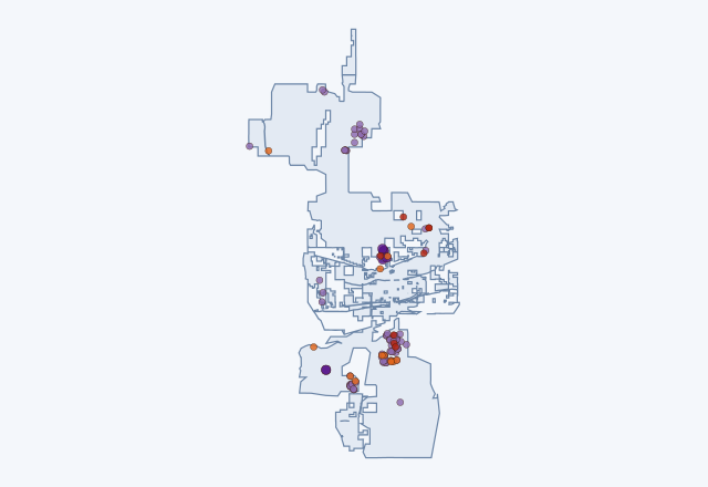 Buckeye, Arizona21 old mine sites and 95 mapped features inside the limits
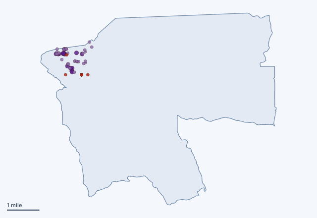 Arivaca, Arizona69 old mine sites and 46 mapped features inside the limits
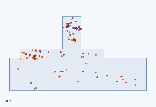 Valdez, Alaska88 old mine sites and 25 mapped features inside the limits
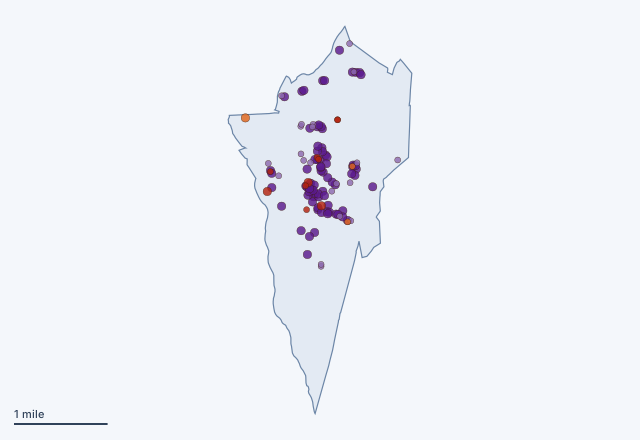 Searchlight, Nevada13 old mine sites and 98 mapped features inside the limits
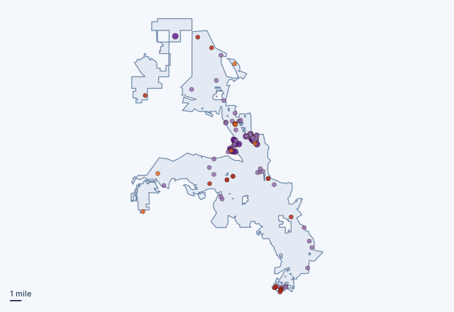 Reno, Nevada21 old mine sites and 89 mapped features inside the limits
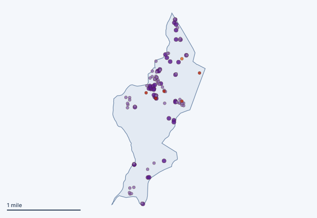 Hanover, New Mexico6 old mine sites and 95 mapped features inside the limits
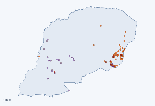 Willow, Alaska70 old mine sites and 30 mapped features inside the limits
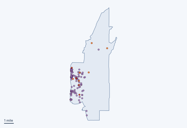 Meadview, Arizona10 old mine sites and 90 mapped features inside the limits
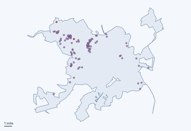 Waco, Texas2 old mine sites and 95 mapped features inside the limits
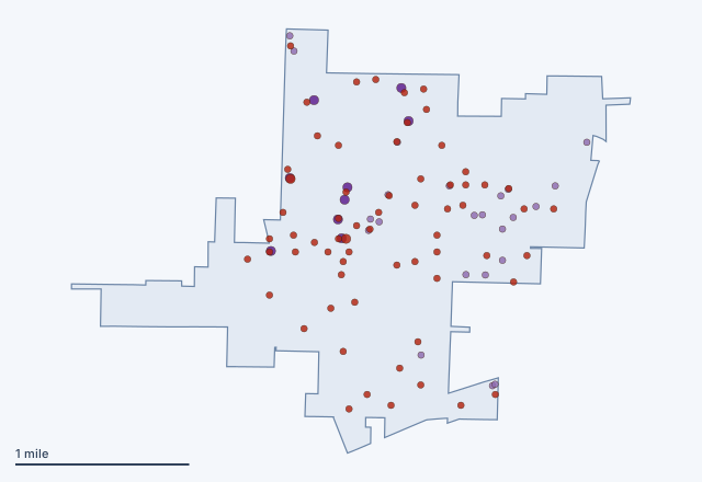 Duenweg, Missouri65 old mine sites and 32 mapped features inside the limits
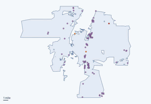 Albuquerque, New Mexico3 old mine sites and 94 mapped features inside the limits
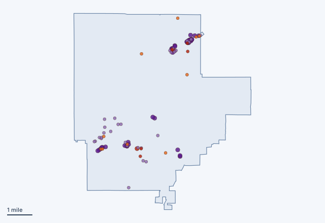 Cave Creek, Arizona17 old mine sites and 78 mapped features inside the limits
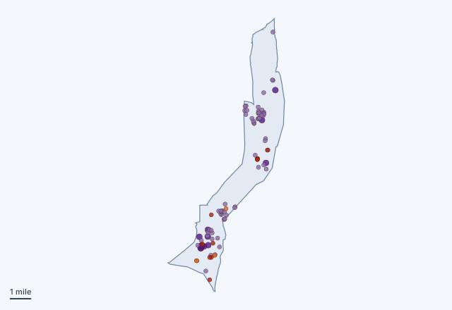 Beatty, Nevada14 old mine sites and 77 mapped features inside the limits
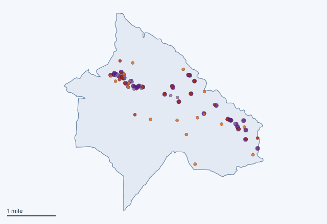 Julian, California36 old mine sites and 54 mapped features inside the limits
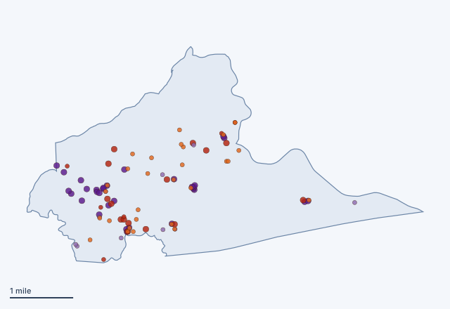 Groveland, California49 old mine sites and 41 mapped features inside the limits
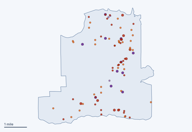 Rail Road Flat, California74 old mine sites and 14 mapped features inside the limits
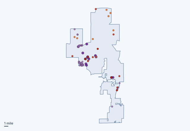 Peoria, Arizona23 old mine sites and 60 mapped features inside the limits
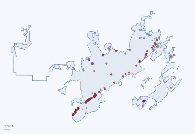 Birmingham, Alabama32 old mine sites and 51 mapped features inside the limits
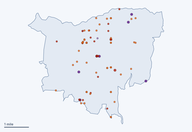 Georgetown, California73 old mine sites and 9 mapped features inside the limits
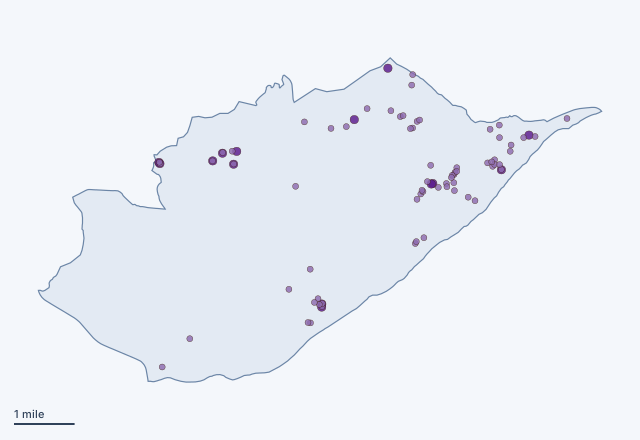 Coalfield, Tennessee0 old mine sites and 82 mapped features inside the limits
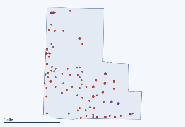 Carterville, Missouri73 old mine sites and 9 mapped features inside the limits
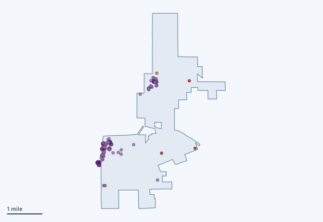 Ely, Nevada4 old mine sites and 77 mapped features inside the limits
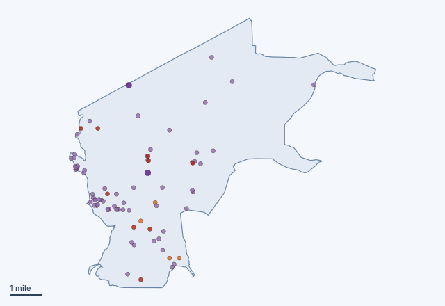 Dayton, Nevada13 old mine sites and 68 mapped features inside the limits
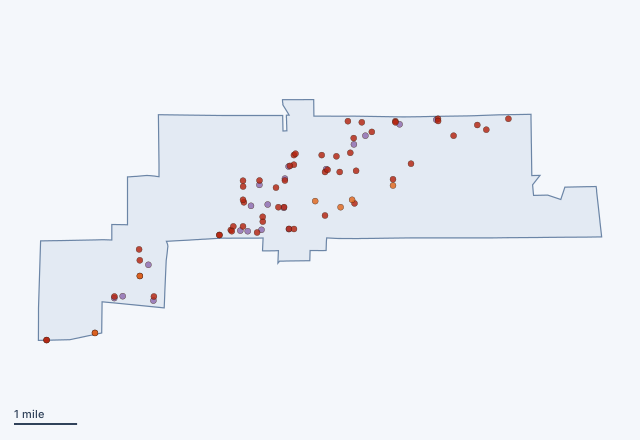 Nashwauk, Minnesota61 old mine sites and 19 mapped features inside the limits
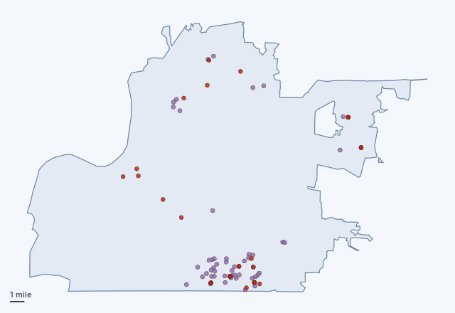 Memphis, Tennessee28 old mine sites and 51 mapped features inside the limits
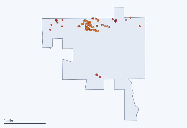 Crystal Falls, Michigan75 old mine sites and 4 mapped features inside the limits
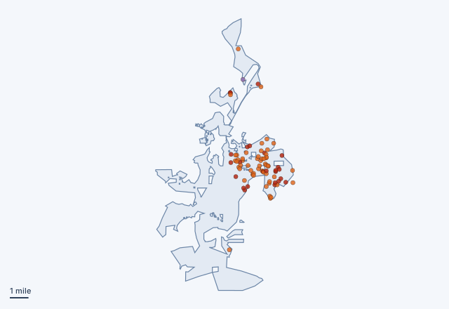 Cartersville, Georgia78 old mine sites and 1 mapped features inside the limits
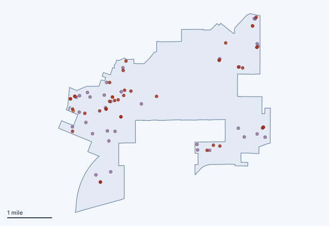 Irwindale, California42 old mine sites and 34 mapped features inside the limits
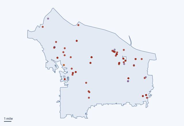 Portland, Oregon61 old mine sites and 14 mapped features inside the limits
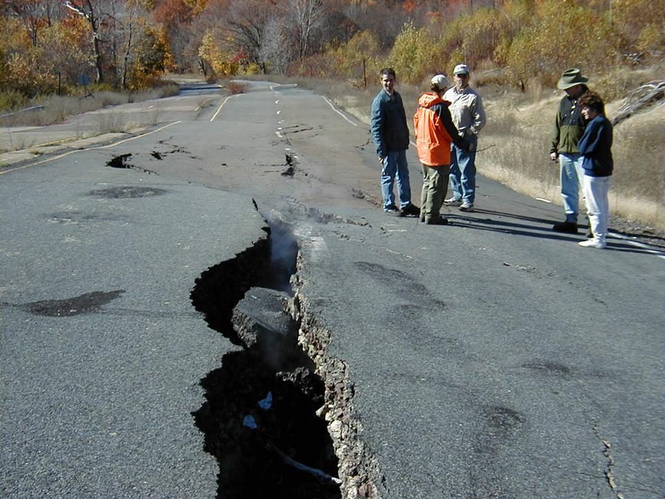
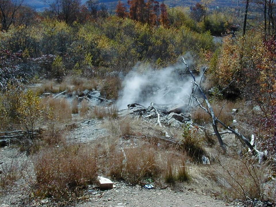
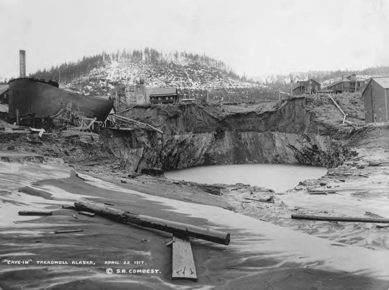
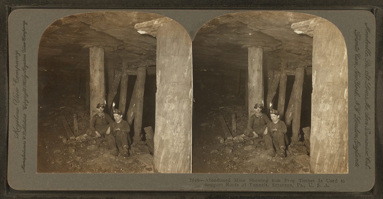
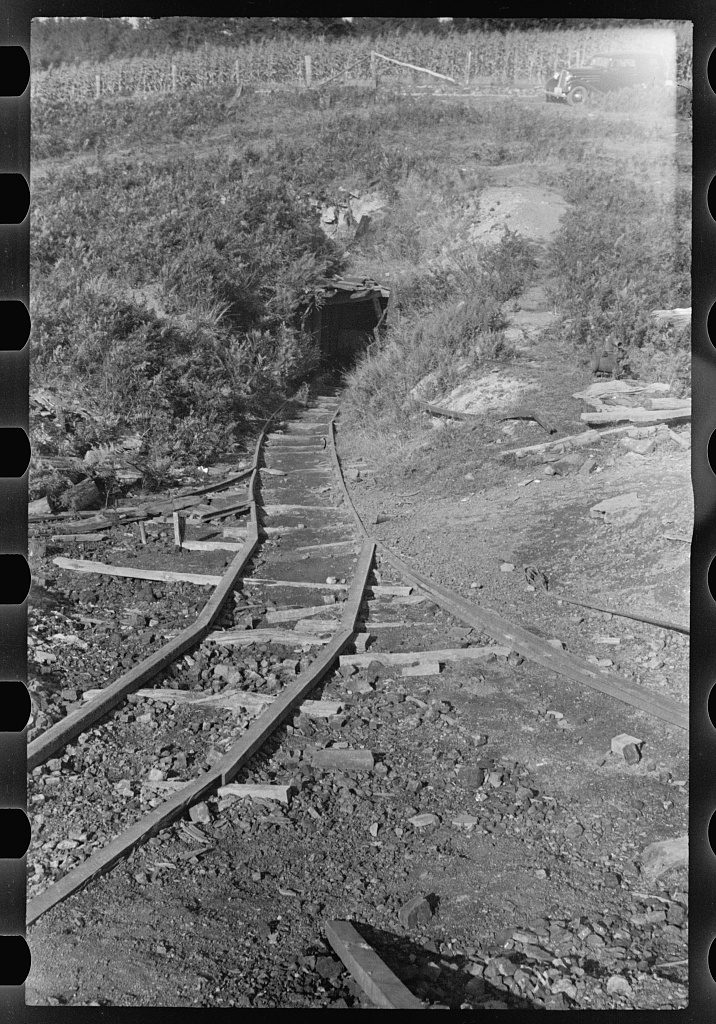
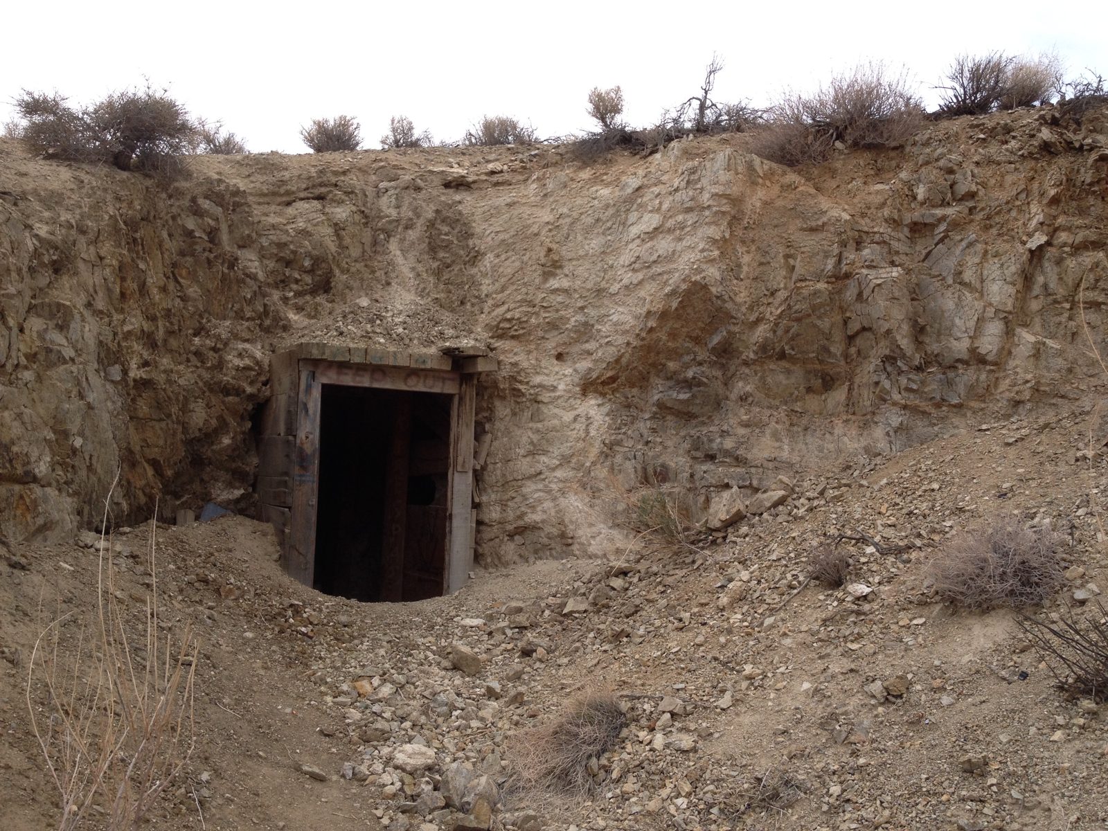
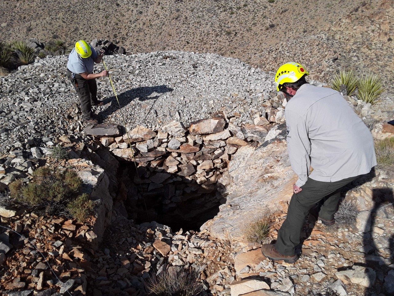
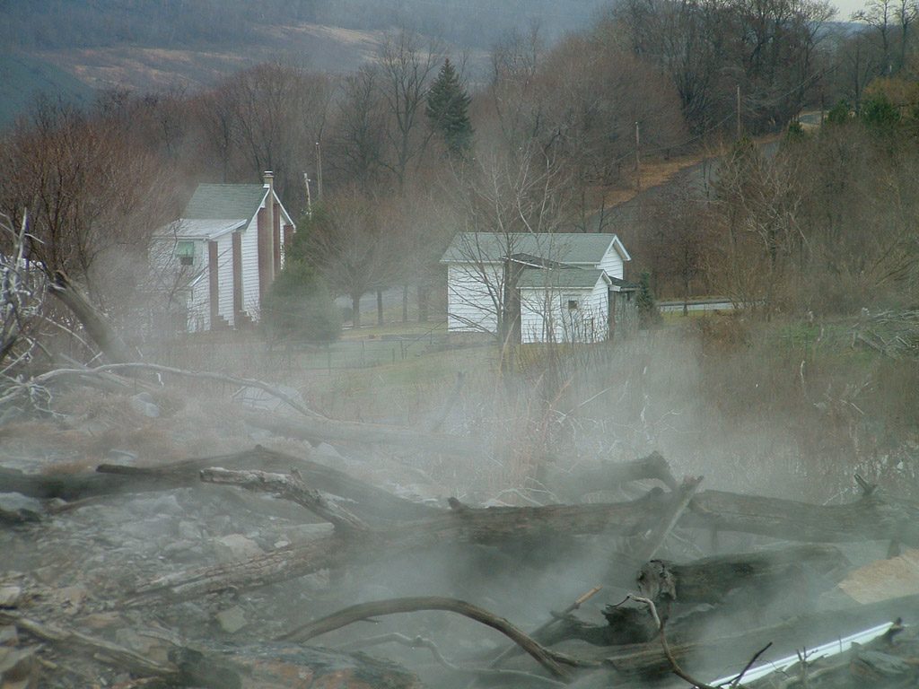
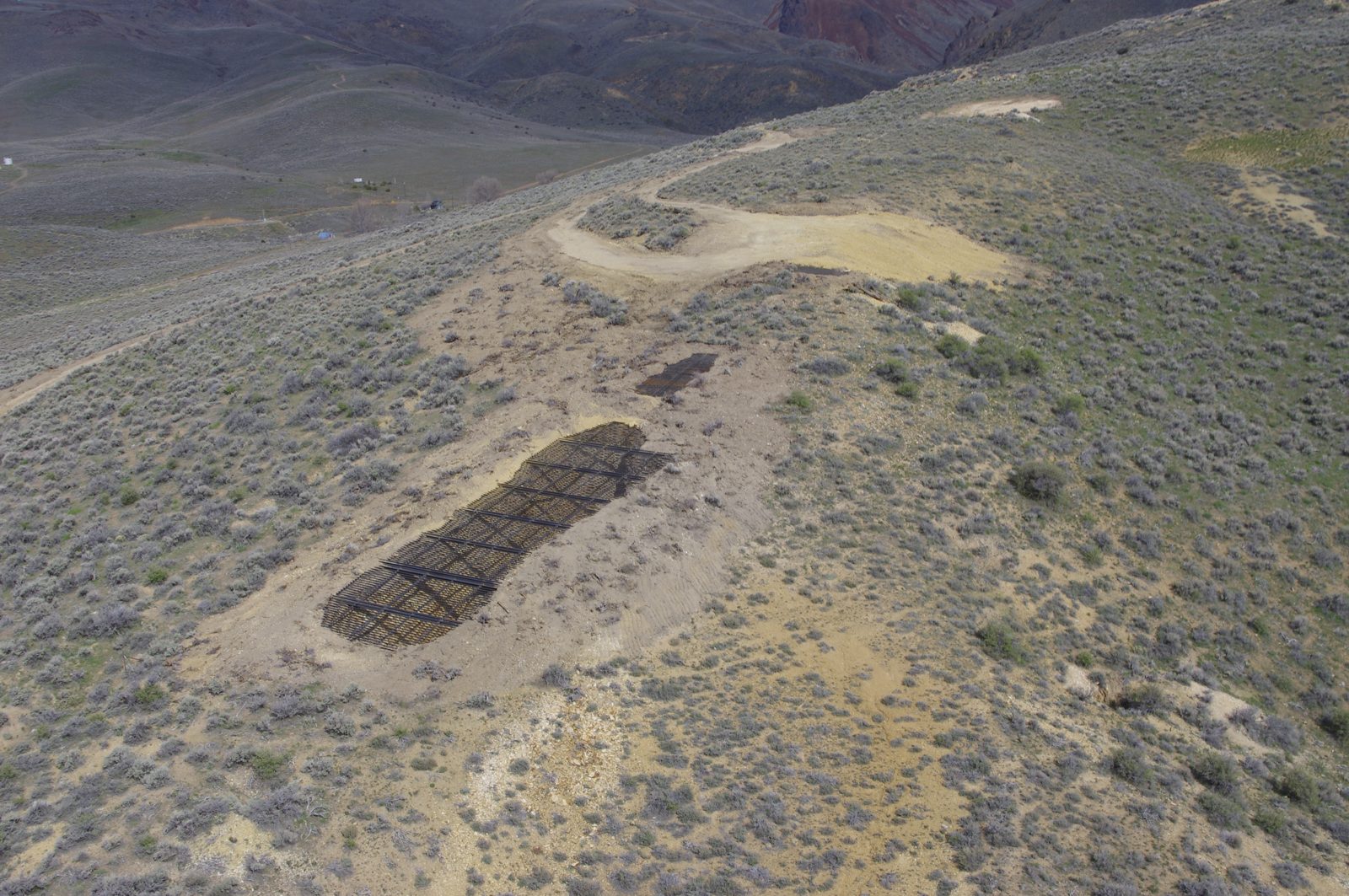
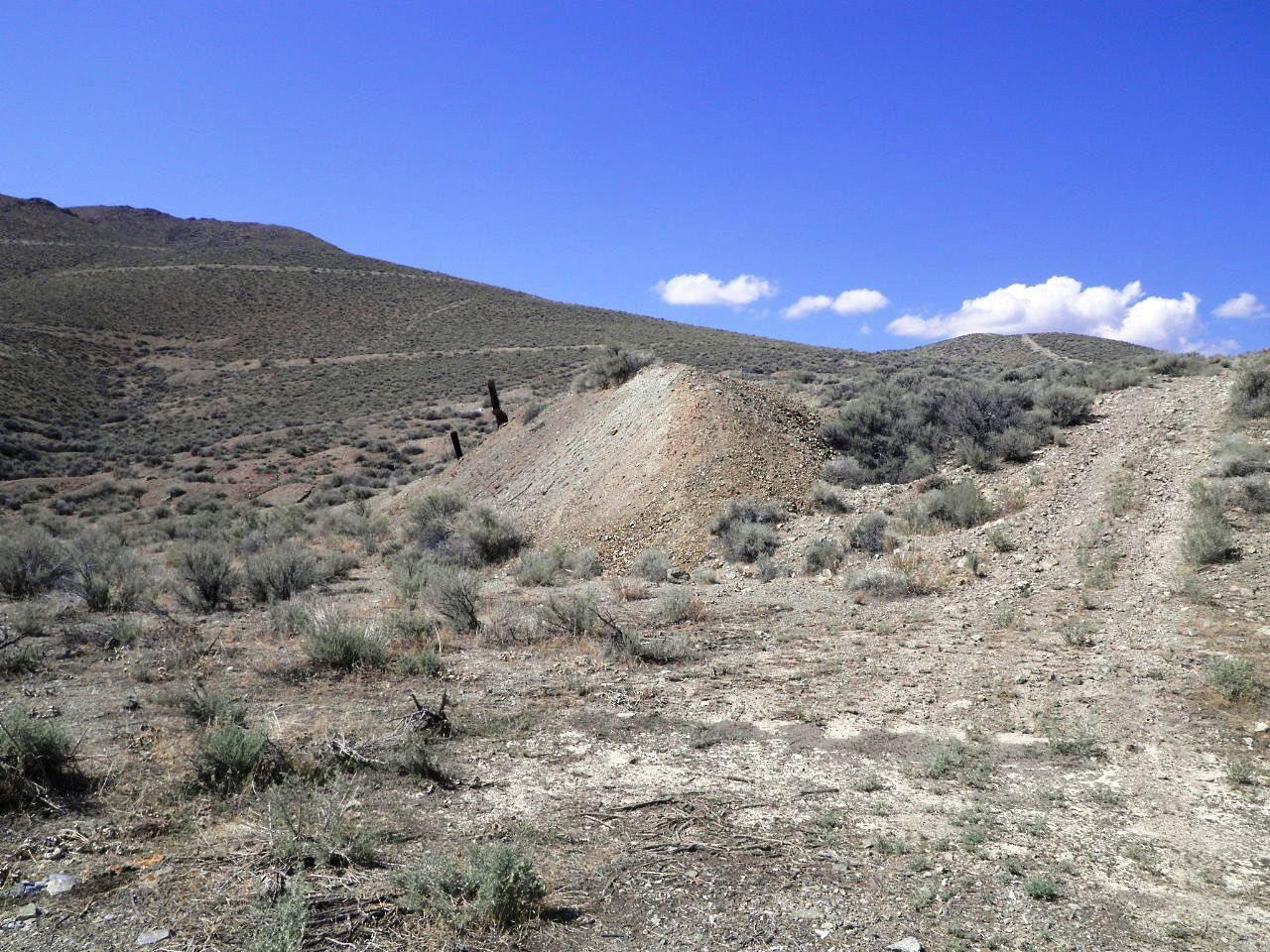
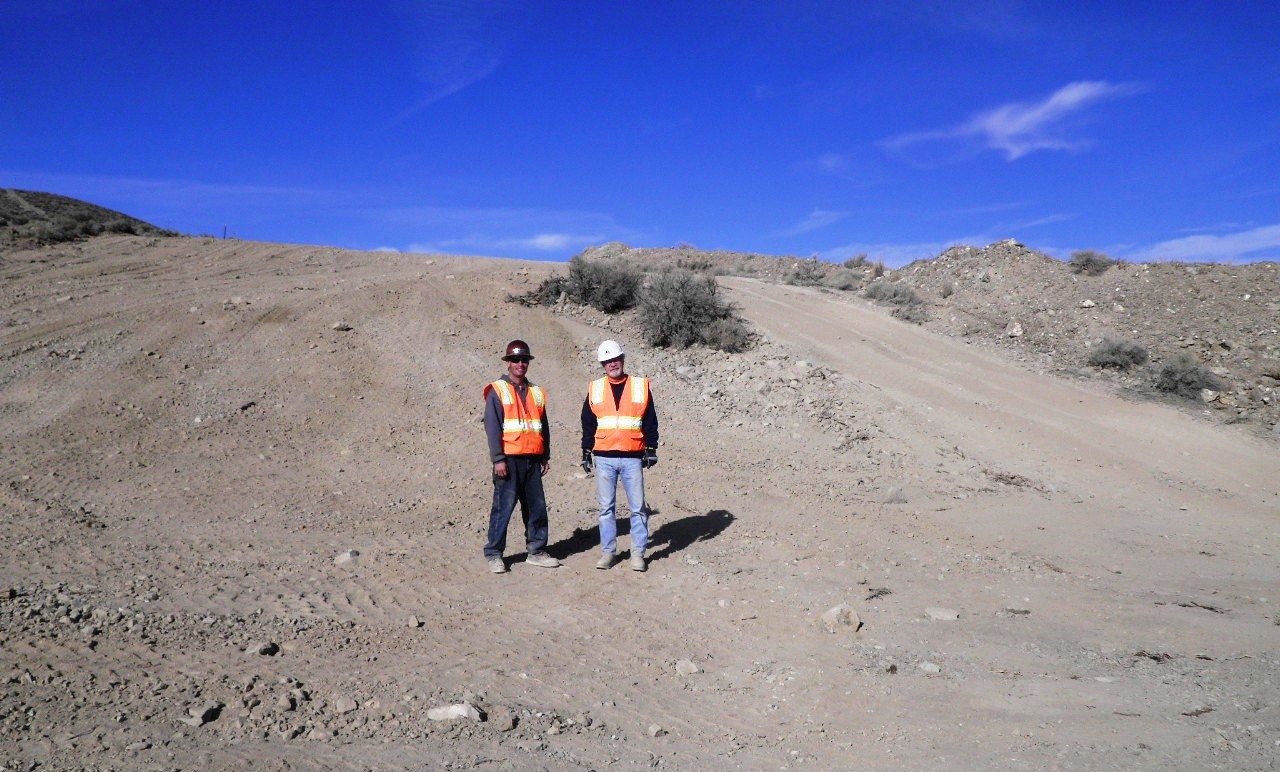
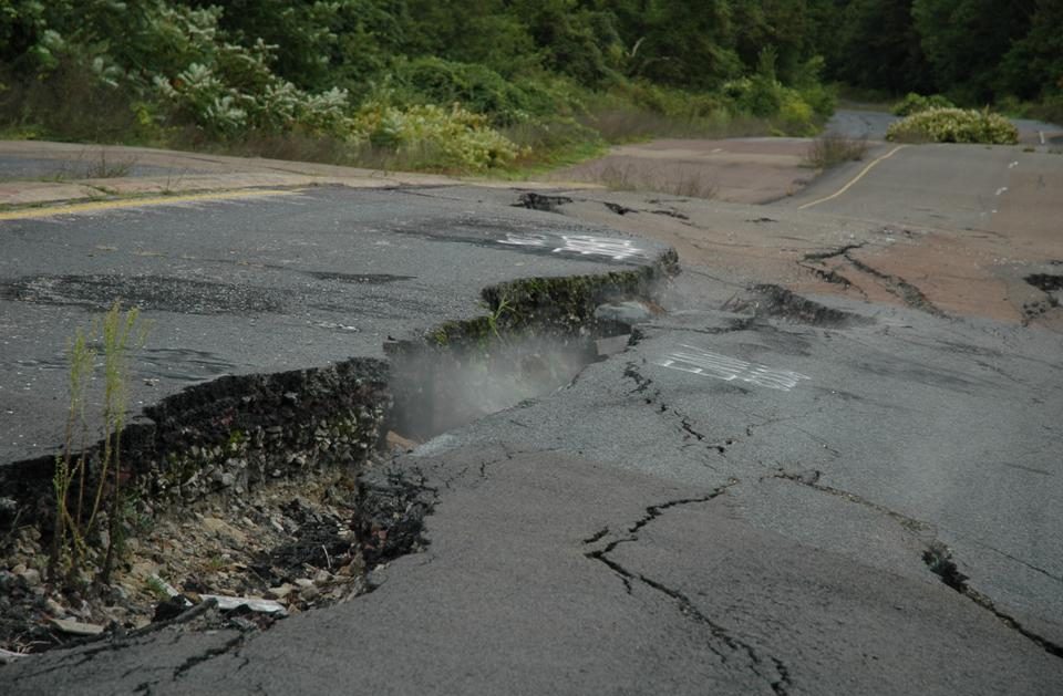
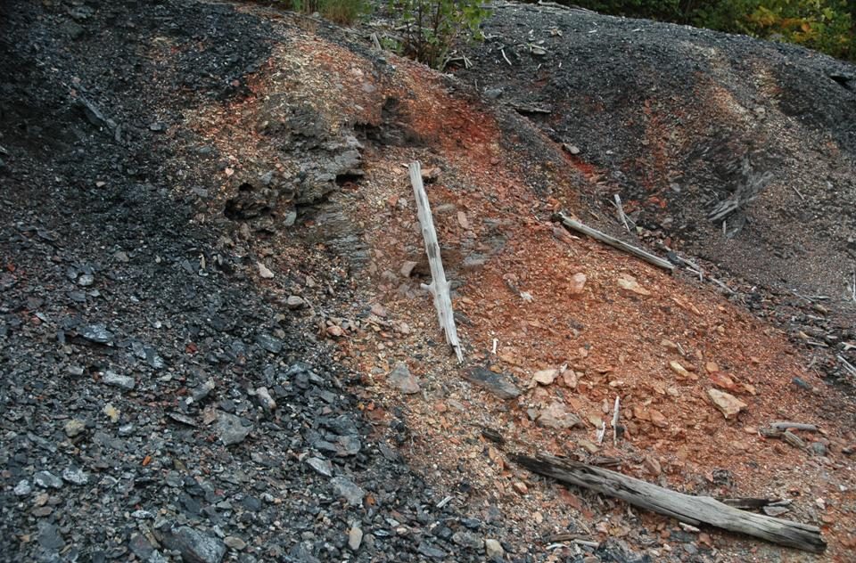
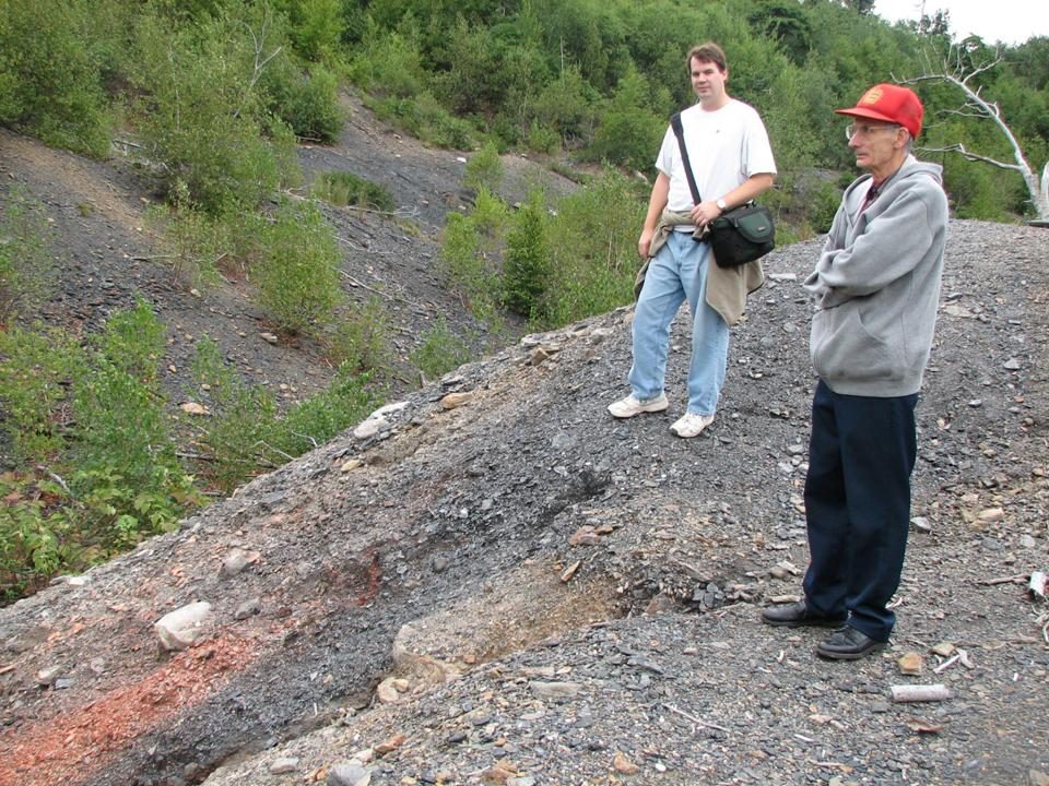
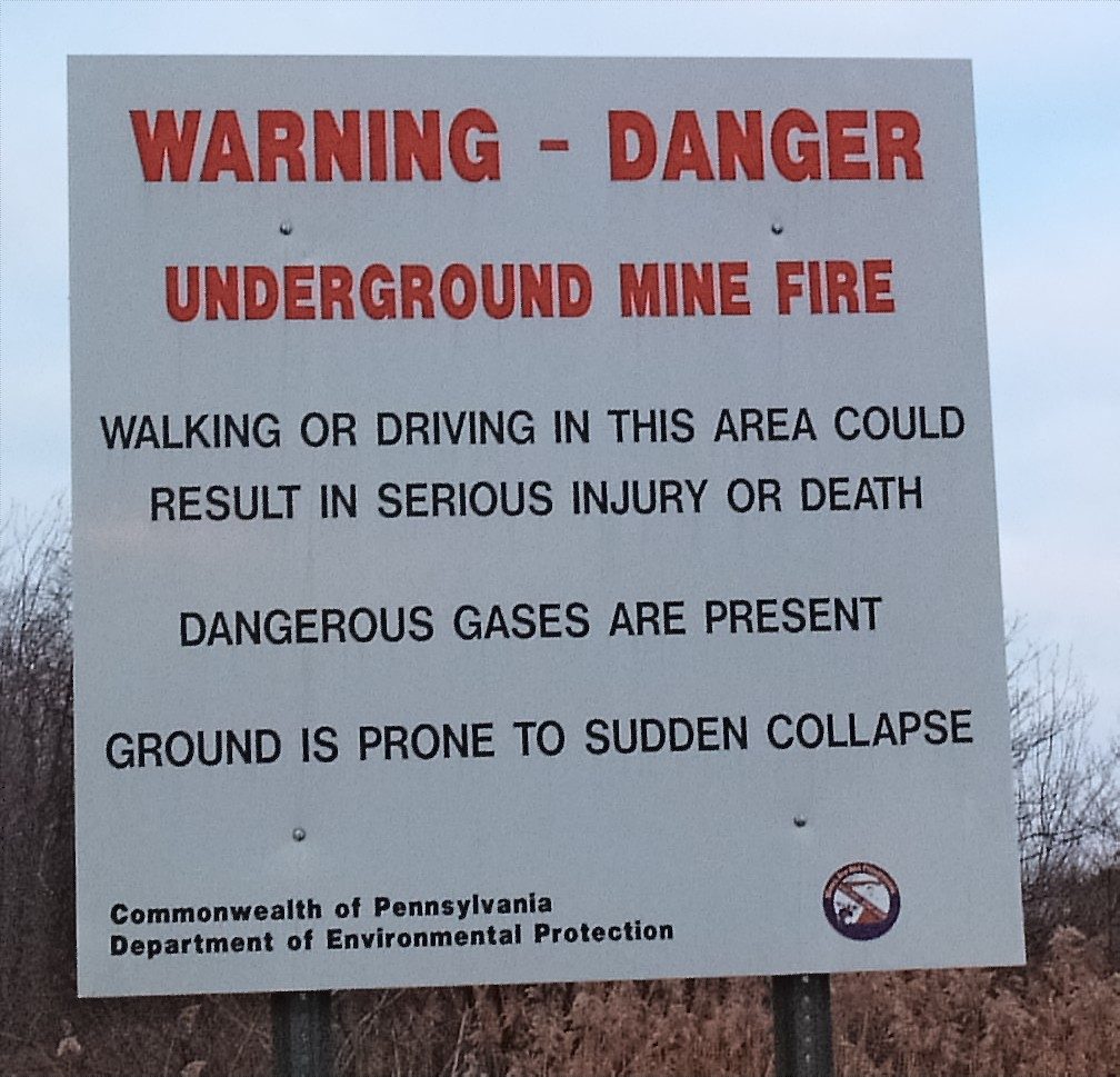
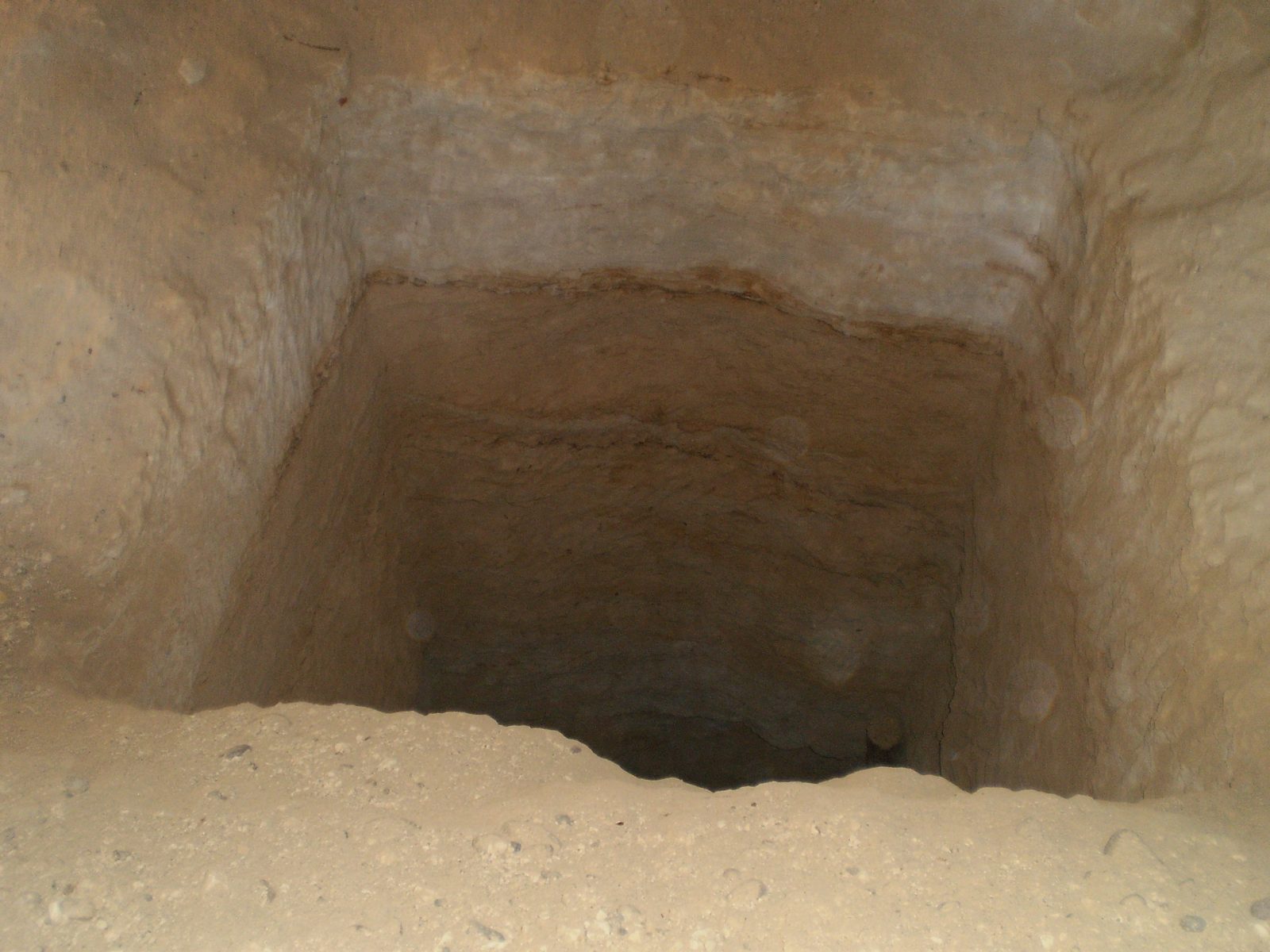
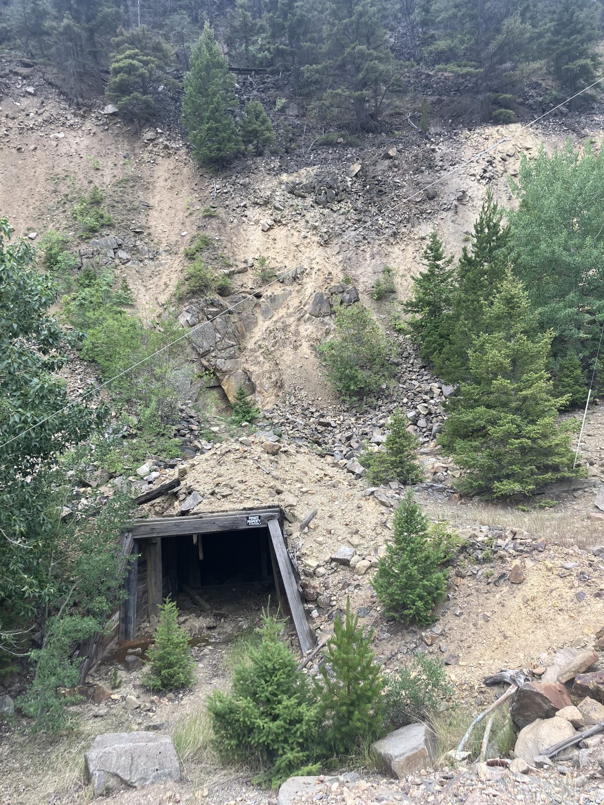
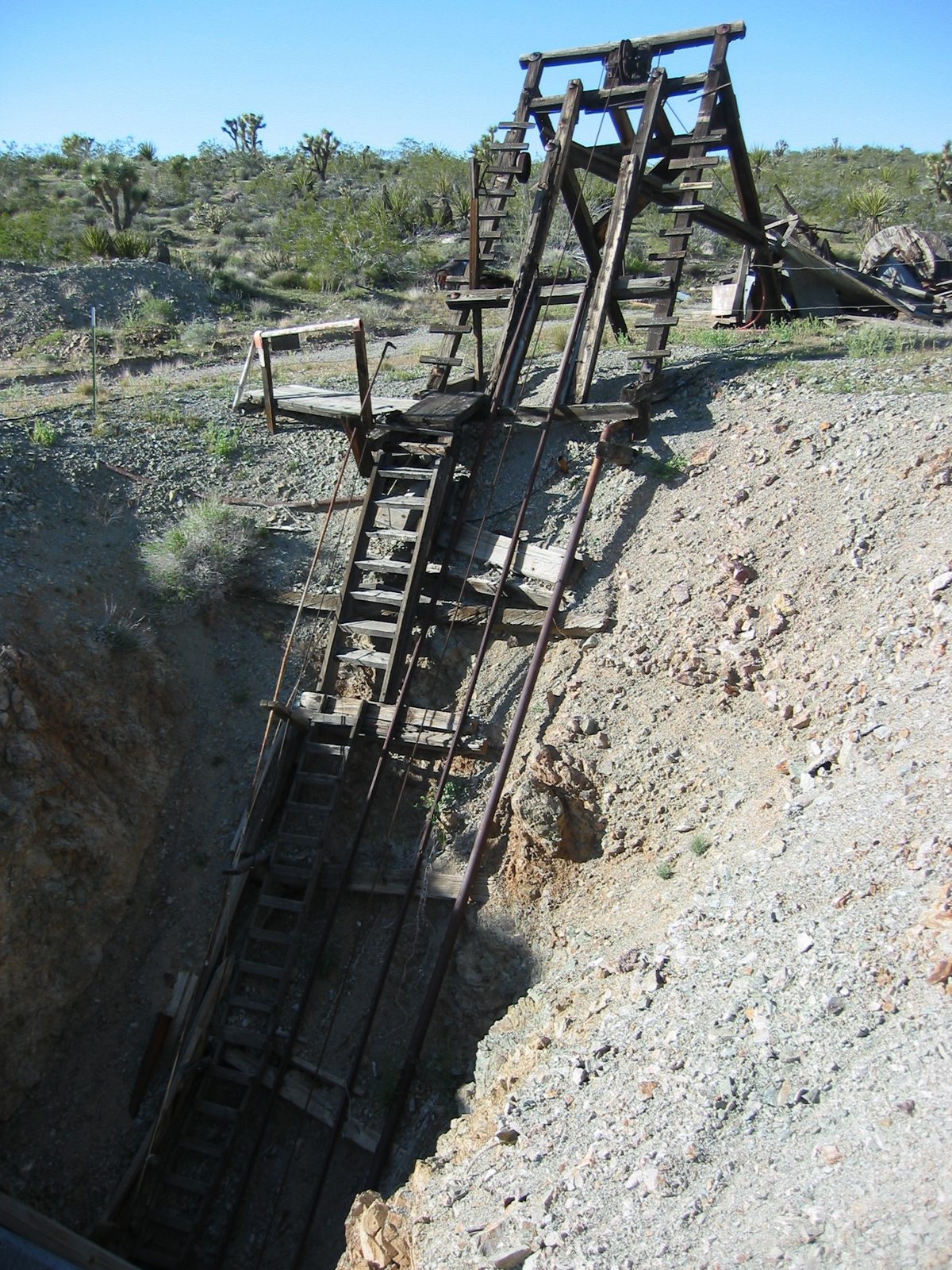
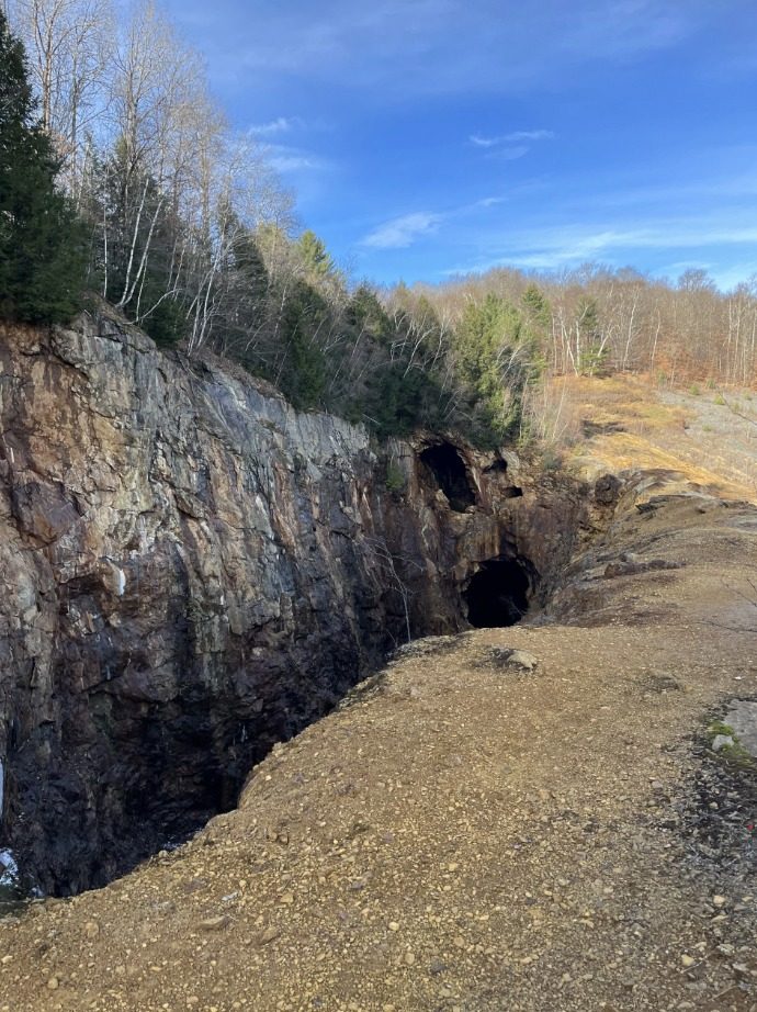
What it looks like when the ground gives way
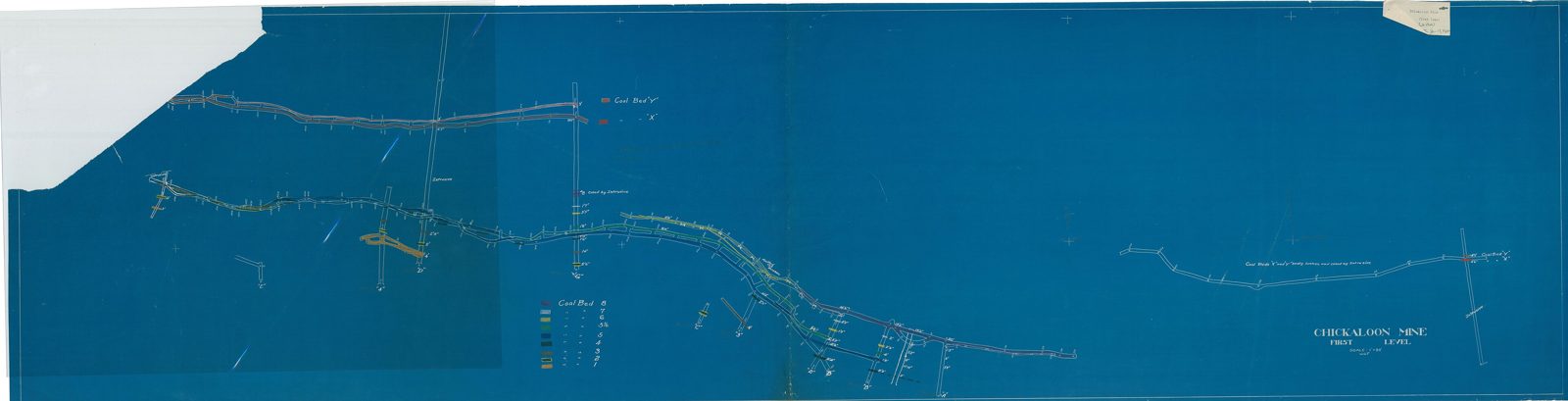
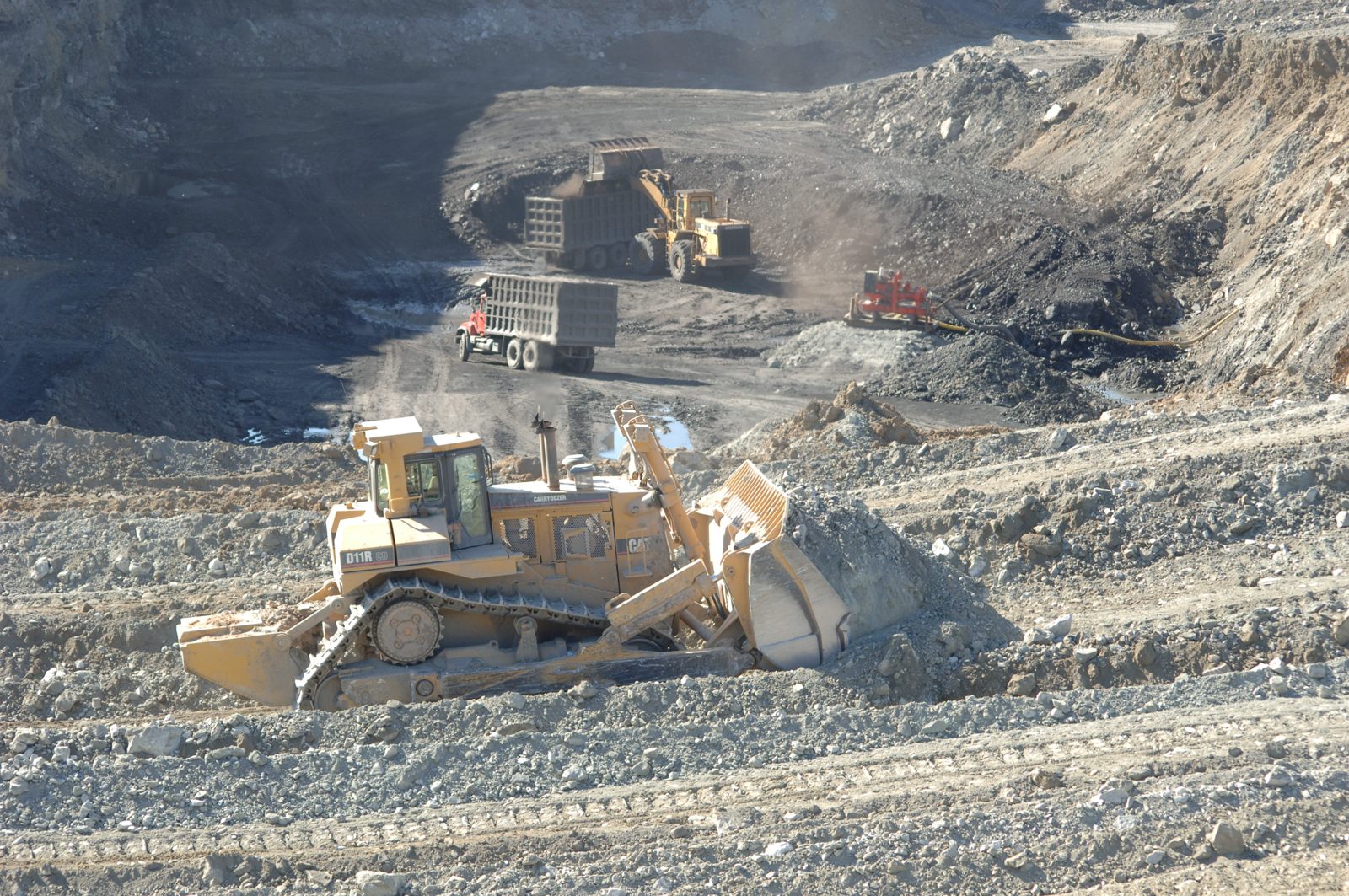
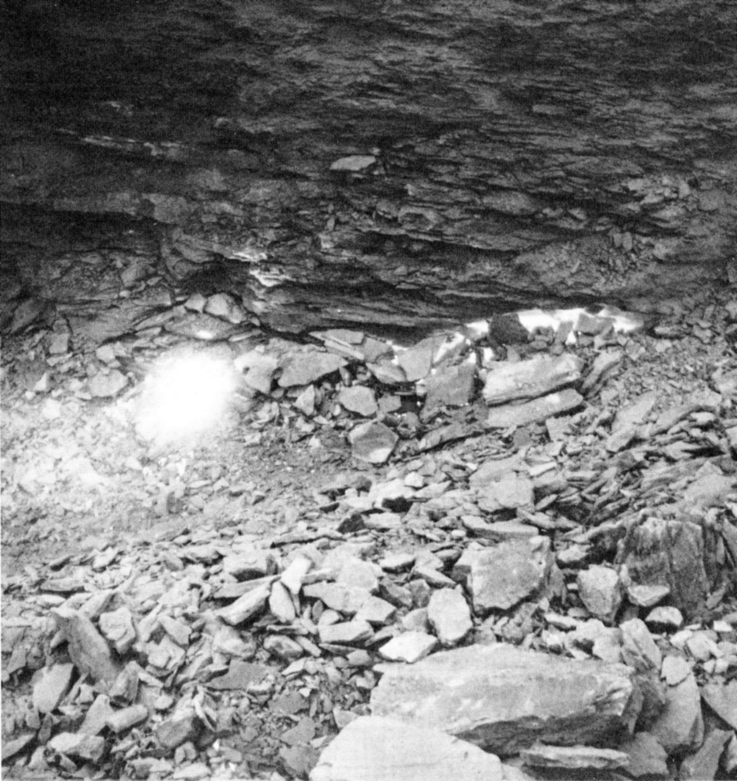
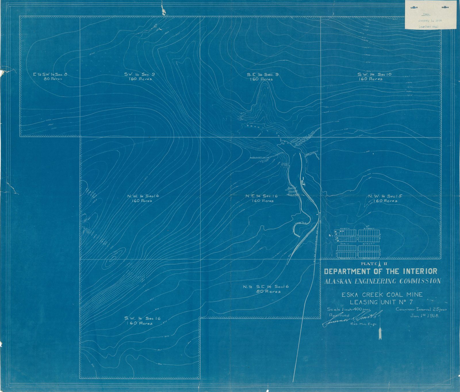
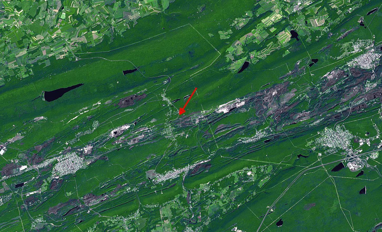
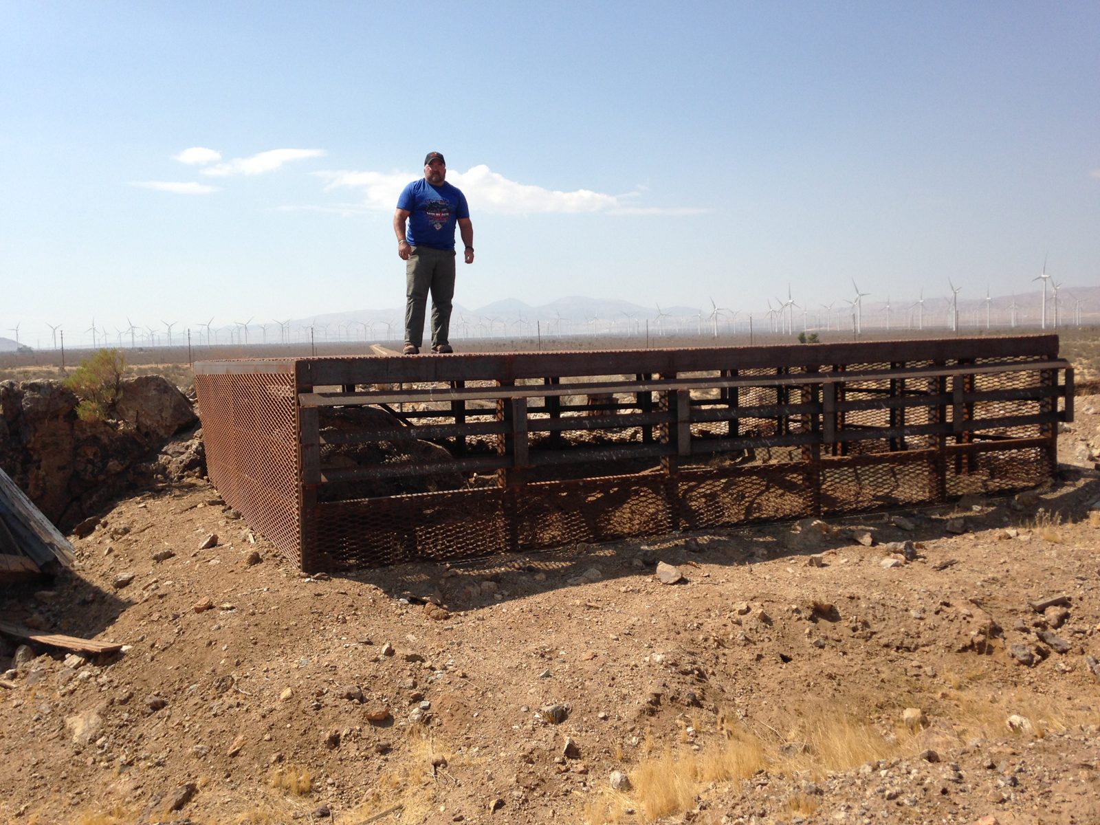
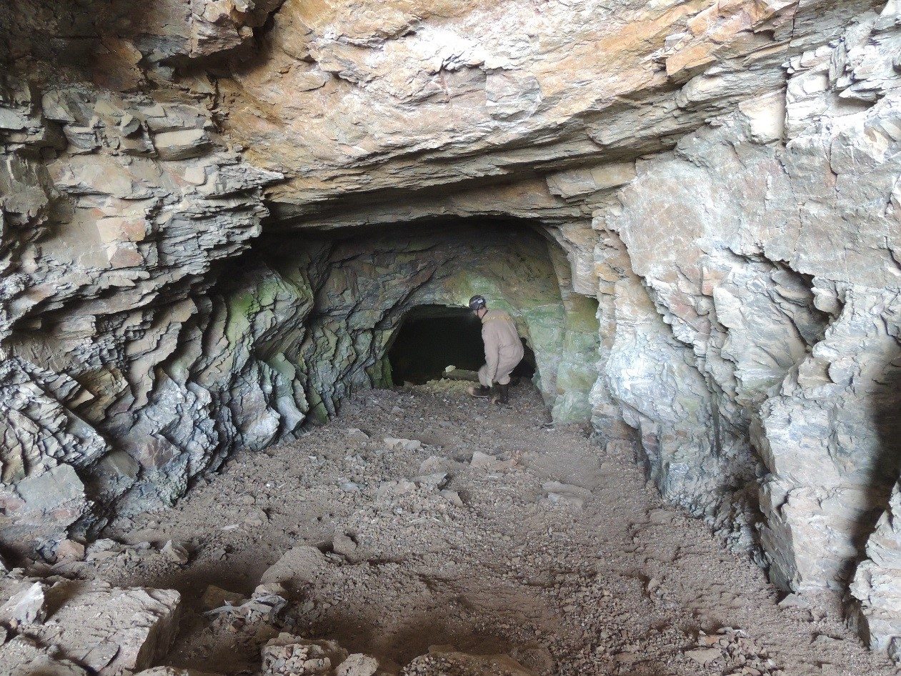
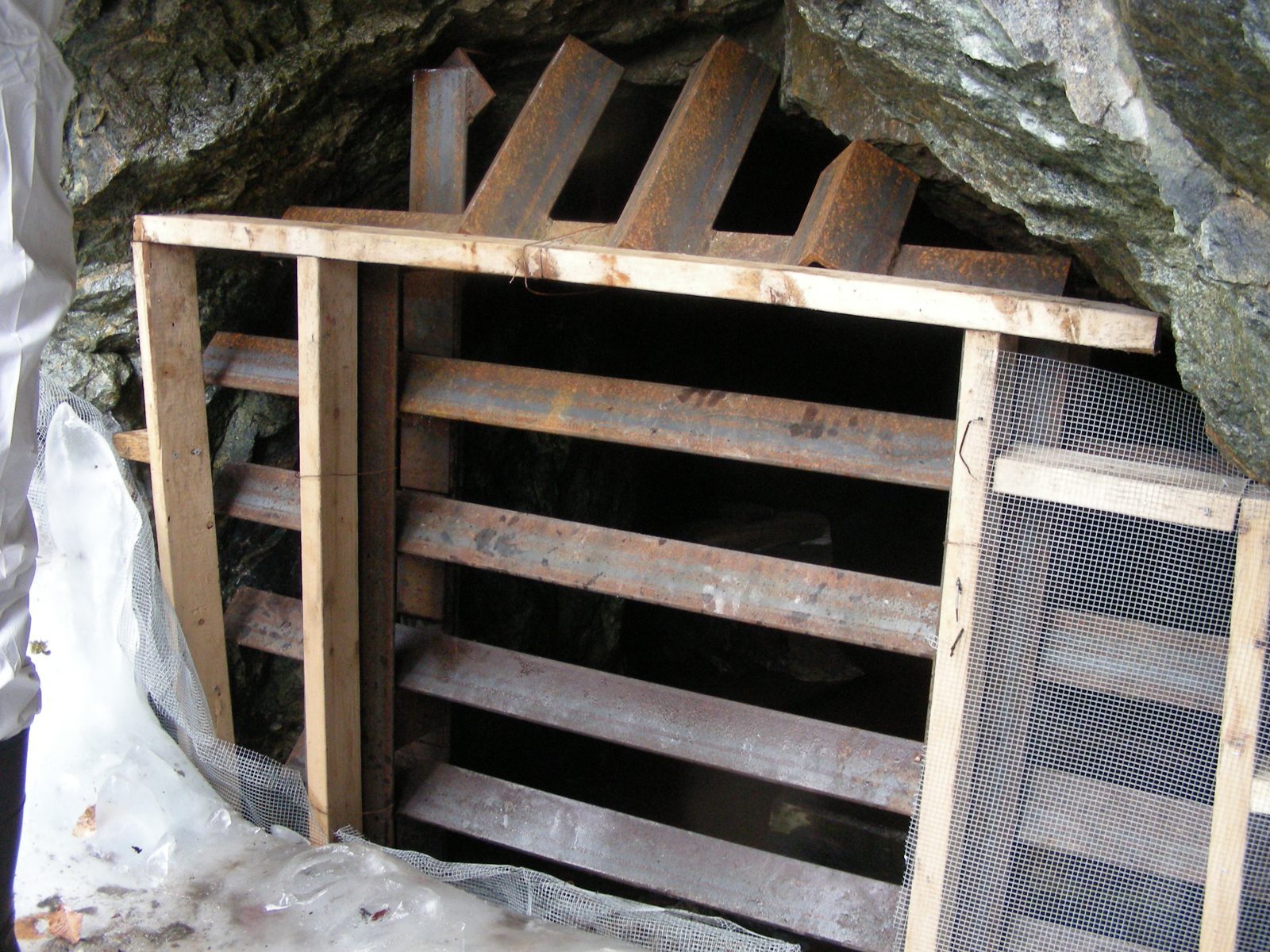
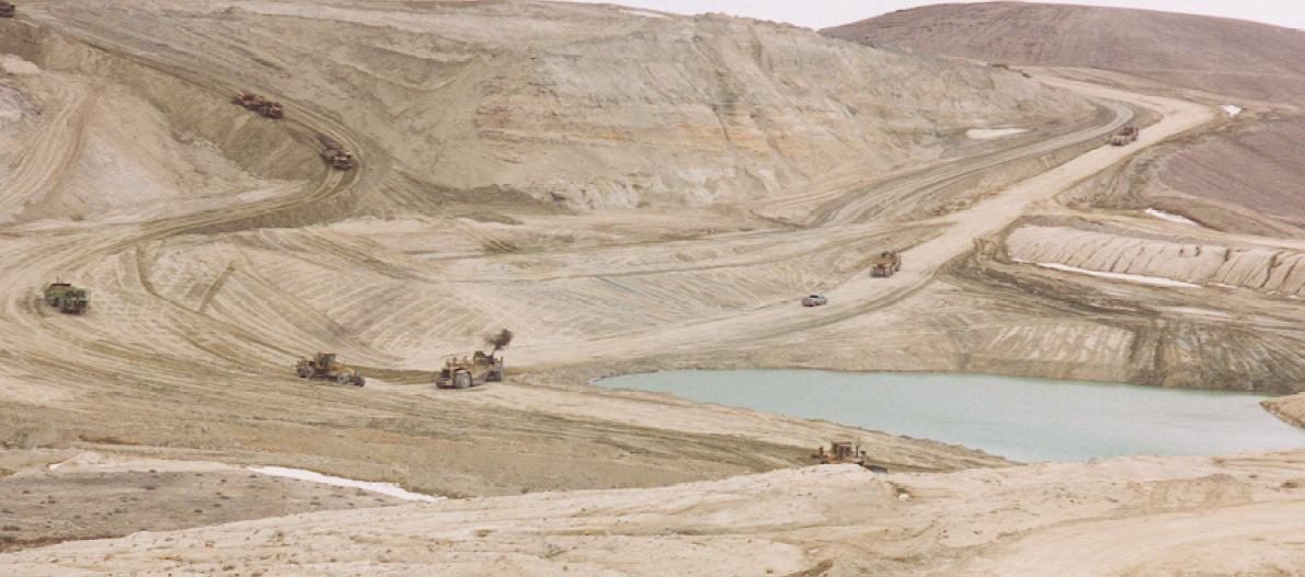
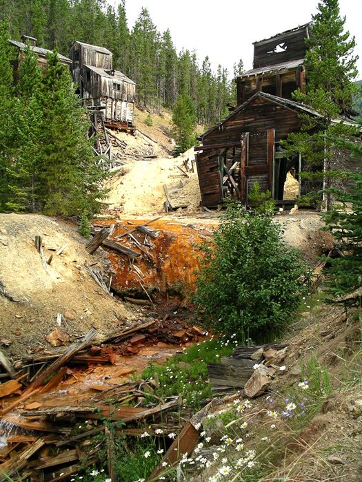
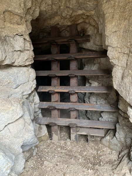
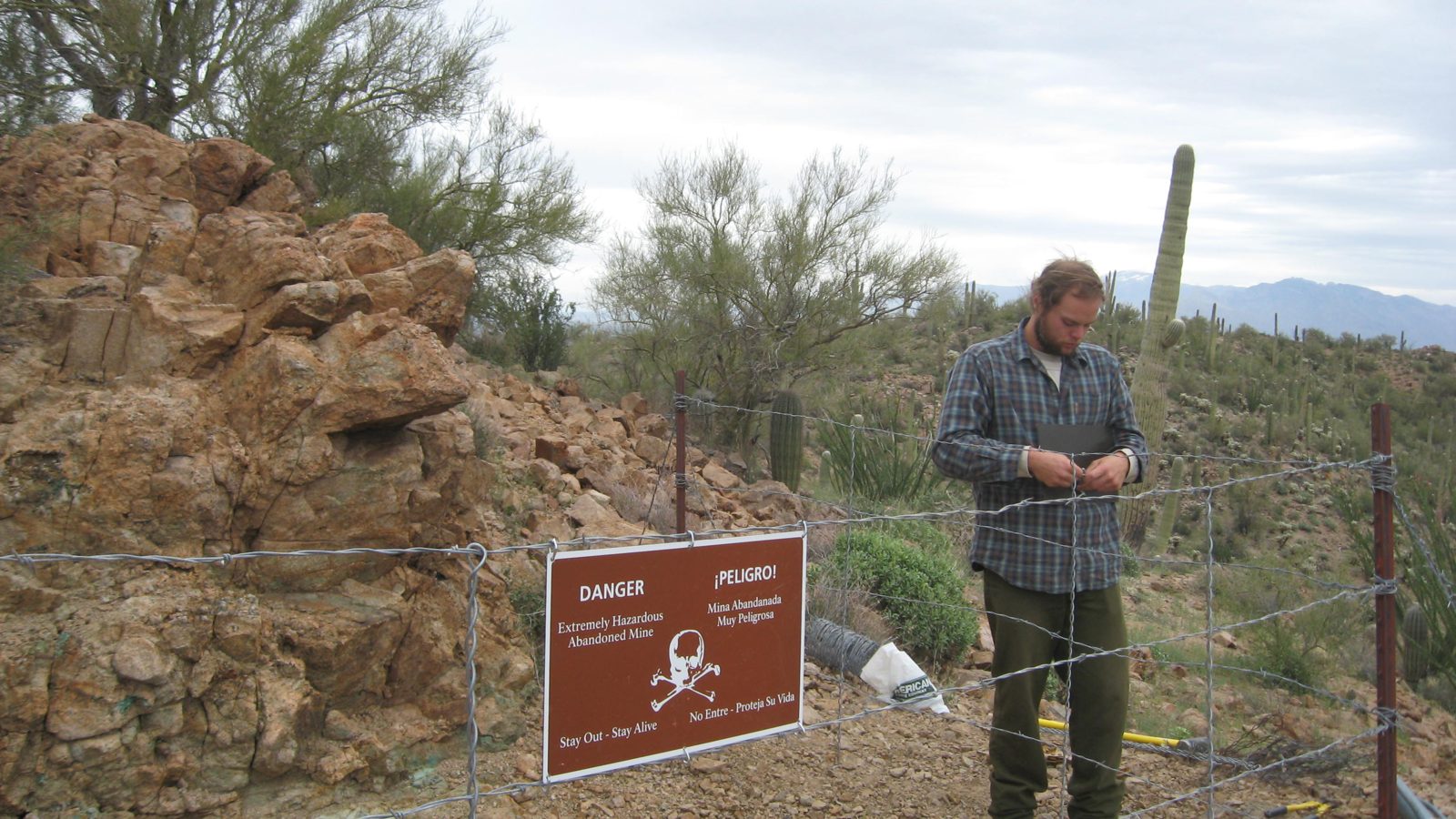
Every photograph here is a federal public domain work or a file its author released for reuse, and each caption links the page that says so. The two mine maps are scans from the National Archives: the record that shows what runs under a parcel, and the reason the state offices above matter.






















If the ground opens: who to call, and when it is 911
A hole that opens over an old working is a mine subsidence. What to do depends on whether anyone is in danger right now.
Call 911 first when any of this is true
- A person, a child or an animal has fallen in, or could fall in before help arrives.
- A hole has opened in a road, a pavement, a school yard or anywhere the public walks or drives.
- A building is moving, cracking fast, or its gas or water line has broken.
- You smell gas, or smoke or steam is coming out of the ground, which can mean a mine fire underneath.
- Anyone has gone into an opening. Air in an old working can kill in a minute and rescue is for trained teams only.
Keep people and vehicles well back from the edge. Subsidence holes widen, and the ground around one is already undermined.
Not an emergency: call the state abandoned mine land programme
A new crack or dip in the ground, a shaft or an opening found on land, a hole that is fenced and stable, water or orange drainage coming out of an old working: these go to the state programme, which is funded by federal coal fees to deal with exactly this and does not charge the landowner for an emergency closure. Pennsylvania takes after hours reports on 800-541-2050 and runs district offices in Ebensburg and Wilkes-Barre. Wyoming tells people to telephone its abandoned mine land division on 1-800-510-0283 to learn whether a property sits over a mined area.
If your house is already damaged
Photograph everything with dates before anything is repaired, and write down when the movement started. A standard homeowner policy does not cover mine subsidence. Eight states run a separate programme, and in Ohio the cover is added to every homeowner policy for a dollar a year in twenty six counties, with the claim going through your own insurance agent. Where no programme exists, the state abandoned mine land office is still the body that records the subsidence.
On federal land
An open shaft or adit on Bureau of Land Management or Forest Service ground is reported to that office. Do not enter it and do not let a dog near the opening.
The state office to call
- AlabamaAlabama Department of Labor, Abandoned Mine Land Reclamation
- AlaskaAlaska DNR Division of Mining, Land and Water, Abandoned Mine Lands
- ArizonaArizona State Mine Inspector, Abandoned Mines
- ArkansasArkansas DEQ Coal Program (abandoned coal mine reclamation)
- CaliforniaCalifornia Department of Conservation, Abandoned Mine Lands Unit
- ColoradoDRMS Inactive Mine Reclamation Program
- IdahoIdaho Department of Lands, Abandoned Mine Lands
- IllinoisIllinois DNR Abandoned Mine Lands Reclamation Division
- IndianaDNR Division of Reclamation, Abandoned Mine Problems
- IowaIowa Department of Agriculture and Land Stewardship, Abandoned Mine Land Reclamation
- KansasKDHE Abandoned Mine Land Program
- KentuckyDivision of Abandoned Mine Lands, regional offices and emergency contact
- MarylandMDE Abandoned Mine Lands Division
- MissouriMissouri DNR Land Reclamation Program, Abandoned Mine Lands (PUB2066)
- MontanaMontana DEQ Abandoned Mine Lands
- NevadaNevada Division of Minerals, Abandoned Mine Lands
- New JerseyNew Jersey Geological and Water Survey, Mine Hazard and Resources Program
- New MexicoEMNRD Mining and Minerals Division, Abandoned Mine Land Program
- North DakotaNorth Dakota Public Service Commission, Abandoned Mine Lands
- OhioODNR Division of Mineral Resources Management, Abandoned Mine Lands Reclamation Programs
- OklahomaOklahoma Conservation Commission, Land Restoration (Abandoned Mine Land)
- PennsylvaniaDEP Bureau of Abandoned Mine Reclamation, Report an AML Emergency
- TennesseeTDEC Abandoned Mine Lands Program
- TexasRailroad Commission of Texas, Abandoned Mine Land Program
- UtahUtah Division of Oil, Gas and Mining, Abandoned Mine Reclamation Program
- VirginiaVirginia Energy, Abandoned Mine Land Program
- West VirginiaWV DEP Abandoned Mine Lands and Reclamation, Report an Emergency or Complaint
- WyomingWyoming DEQ Abandoned Mine Land Division
The office that holds the mine maps, state by state
Every office below was opened from this server before it was listed, or confirmed in the search index where the host refuses us. Twenty four states publish a mine map collection or a viewer, twenty eight run an abandoned mine land programme, and eight run mine subsidence insurance. Where a state has none, it says so.
Alabama
Underground coal mine maps for Alabama are held by the Alabama Department of Labor's Mine Safety office in Birmingham, reached at (205) 944-1075. Subsidence, open shafts and other hazards from coal mining before 1977 are handled by the department's Abandoned Mine Land Reclamation program, which keeps the state inventory of priority sites. A homeowner with a question about a specific property calls the Mine Safety office and asks whether a mapped underground mine lies under the parcel.
The Geological Survey of Alabama coal page is a script application that gives this box no readable text, so it is not listed.
- Alabama Department of Labor, Mine Safety office (underground mine maps)Questions about underground mine maps go to the Inspections Division's Mine Safety office in Birmingham at (205) 944-1075.
- Alabama Department of Labor, Abandoned Mine Land ReclamationThe state program for mine fires, subsidence, open shafts and portals and other hazards from pre 1977 coal mining, with the inventory of priority 1 and 2 sites.
Alaska
Alaska's Abandoned Mine Lands program sits in the Department of Natural Resources Division of Mining, Land and Water and covers historic mines of any type. The Division of Geological and Geophysical Surveys publishes the state's mineral maps and data. Alaska publishes no mine map lookup for a single address, so a property question goes to the Division of Mining, Land and Water.
Arizona
The Arizona Geological Survey keeps the former Department of Mines and Mineral Resources archive of thousands of original mine files, photographs and maps, served through its mining data site. Open shafts and other abandoned mine hazards are reported to the Arizona State Mine Inspector, whose abandoned mines office inventories and secures them. A homeowner checks a property by searching the survey's mine files for the district and mine name and asks the State Mine Inspector about known openings nearby.
- Arizona Geological Survey, Mining Data (mining collections archive)Thousands of original historic Arizona mine files, photographs and maps from the former Department of Mines and Mineral Resources, served at https://mininginfo.azgs.arizona.edu.
- Arizona State Mine Inspector, Abandoned MinesThe office that inventories and secures abandoned mine openings and takes reports of them.
- Arizona Geological Survey, Mining DataSame page as the mine files archive.
Arkansas
The Arkansas Division of Environmental Quality Coal Program in Fort Smith inspects coal mines and reclaims those abandoned before 1977 with federal funds. The Arkansas Geological Survey's mineral commodity web map shows mines and mine symbols from topographic maps for all 75 counties. Arkansas publishes no underground mine map viewer, so a property question goes to the Coal Program office.
- Arkansas DEQ Coal Program (abandoned coal mine reclamation)Inspects active and inactive coal mines and reclaims coal mines abandoned before 1977 with OSMRE funds; main office in Fort Smith.
- Arkansas Geological Survey, Mineral Commodity Web MapA county by county web map of mines and mineral commodities compiled from DEQ, highway department, survey, USGS and Bureau of Mines records and USGS topographic mine symbols, complete for all 75 counties.
California
The Department of Conservation's Abandoned Mine Lands Unit records tens of thousands of abandoned mines in all 58 counties, about two thirds of them on federal land. The department's map server carries the Division of Mine Reclamation mine status data and the California Geological Survey mineral land classification maps. California publishes no underground workings viewer for a street address, so a homeowner starts with the map server and the Abandoned Mine Lands Unit.
- California Department of Conservation, Abandoned Mine Lands UnitThe unit's page on the tens of thousands of abandoned mines in all 58 counties (about 64 percent on federal land, 32 percent private), their hazards and the unit's reports.
- Department of Conservation map server, Mines and Mineral ResourcesInteractive web maps and a data viewer of mine status from the Division of Mine Reclamation and the California Geological Survey's mineral land classification.
Colorado
The Division of Reclamation, Mining and Safety keeps the coal and mineral permit files and the Historical Mining Books in its electronic document system, with records of sites released before 2002 at the Colorado State Archives. Its Inactive Mine Reclamation Program answers subsidence emergencies at 1-800-44MINES or 303-866-3567, and its Mine Subsidence Protection Program pays for coal mine subsidence damage to Colorado homes. The Colorado Geological Survey's ground subsidence page covers the hazard over abandoned workings and lists its county studies.
Colorado's cover is a protection program run by DRMS, not an insurance policy sold by insurers.
- DRMS Data: electronic documents and mining activity mapThe Division of Reclamation, Mining and Safety document system (Laserfiche WebLink) with non confidential coal, minerals and prospecting permit files and the Historical Mining Books, plus the DRMS map viewer at https://maps.dnrgis.state.co.us/drms/Index.html?viewer=drms; records for sites released before 2002 are at the Colorado State Archives.
- DRMS Inactive Mine Reclamation ProgramThe program that safeguards abandoned openings (over 10,500 since 1980), abates coal mine subsidence and fights coal fires; subsidence emergency line 1-800-44MINES or 303-866-3567 on the MSPP page.
- Colorado Geological Survey, Ground SubsidenceThe survey's hazard page on subsidence over abandoned mine workings, collapsing soils and karst, with its publications on coal mine subsidence in Boulder, Weld and other counties.
- DRMS Mine Subsidence Protection Program (MSPP)A state program set up with a $3 million federal grant to pay for damage to Colorado homes from coal mine subsidence; information at 1-800-44MINES or Deb.Zack@state.co.us.
Connecticut
The Connecticut Geological Survey in DEEP keeps the Connecticut Bedrock Mining Sites Database, an inventory of active and historic bedrock mines and quarries with a web map. Connecticut has no abandoned mine land program and no coal workings. A property question starts with the mining sites database.
Delaware
Delaware has quarries and sand pits but no underground mines and no abandoned mine program. The Delaware Geological Survey is the state source for geology questions.
Delaware has no mines beyond quarries and sand pits and no abandoned mine program.
District of Columbia
The District of Columbia has no mines and no mine program. The federal National Mine Map Repository and the USGS mine feature data are the only records that touch the District.
No mines and no mine program.
This state publishes no mine map collection and no abandoned mine land programme of its own. The federal sources at the top of this page are the ones to use.
Florida
Florida's mines are surface phosphate, limestone, heavy mineral and peat operations regulated by the Department of Environmental Protection Mining and Mitigation Program. There are no underground mines, and ground collapse in Florida is karst sinkhole activity rather than mine subsidence.
Florida sinkholes are karst, not mine subsidence.
Georgia
Georgia's Environmental Protection Division Surface Mining Unit permits and bonds surface mines and publishes the list of permitted facilities. The old Georgia Geologic Survey mineral resource maps are posted by the division. Georgia publishes no abandoned mine inventory online.
Georgia publishes no abandoned mine inventory; the Dahlonega gold mines are not mapped by the state online.
Hawaii
Hawaii has quarries only and no abandoned mine program. No state page on abandoned mines exists.
No state page on abandoned mines exists; Hawaii has quarries only.
This state publishes no mine map collection and no abandoned mine land programme of its own. The federal sources at the top of this page are the ones to use.
Idaho
The Idaho Geological Survey's Mines and Prospects Database lists the state's mines and prospects with mine histories, inactive mines and mineral property files, shown on the survey's interactive map. The Idaho Department of Lands runs the Abandoned Mine Lands program under the 1994 Abandoned Mine Reclamation Act and refers location questions to its nearest supervisory area. A homeowner checks a property by searching the survey's database and map for mines near the parcel.
- Idaho Department of Lands, Abandoned Mine LandsThe program under the 1994 Abandoned Mine Reclamation Act, funded by half the mine license tax; location questions go to the nearest IDL supervisory area.
- Idaho Geological Survey, Mines and Prospects DatabaseThe survey's searchable database of mines and prospects with mine histories, inactive mines and mineral property files; map at https://www.idahogeology.org/webmap/?show=mines.
Illinois
The Illinois State Geological Survey's Coal Mines in Illinois Viewer (ILMINES) shows known underground and surface coal mines, underground industrial mines and an underground mine proximity area, built to tell a homeowner how close the workings are. The Illinois DNR Abandoned Mine Lands Reclamation Division in Springfield investigates subsidence, and its homeowner guide explains pit and sag subsidence over the more than 800,000 acres undermined for coal. Subsidence cover is bought through the homeowner's own insurer, which is backed by the Illinois Mine Subsidence Insurance Fund created by statute.
The Illinois Mine Subsidence Insurance Fund is a not for profit created by statute, not a state agency; the cover is bought through the homeowner insurer.
- ISGS Coal Mines in Illinois Viewer (ILMINES)Map of known underground and surface coal mines and underground industrial mines with an underground mine proximity area, built to show how close coal mines are to a home or business; links to the county coal map series, mine directories and coal mine maps.
- Illinois DNR Abandoned Mine Lands Reclamation DivisionThe state program that reclaims pre law coal mine land and investigates subsidence; One Natural Resources Way, Springfield; the homeowner subsidence guide is at https://dnr.illinois.gov/mines/aml/subsidence.html.
- ISGS web applications (ILMINES, PLSS address lookup)The survey's interactive tools: ILMINES with coal company, mine name, mine number, years of operation and mine locations relative to homes, and a PLSS lookup that gives the township, range and section for an Illinois address.
- Illinois DNR subsidence guide and the Illinois Mine Subsidence Insurance FundThe homeowner guide on pit and sag subsidence (over 800,000 acres undermined for coal) says to contact the AML division and file a claim with the homeowner insurer, which notifies the Illinois Mine Subsidence Insurance Fund, the statutory reinsurer behind the cover.
Indiana
The Indiana DNR Division of Reclamation's Coal Mine Information System map, built with the Indiana Geological Survey, shows every documented surface and underground coal mine in the state. Hazards from legacy mining are reported to the division at 812-665-2207 or AbandonedMinesRestoration@dnr.IN.gov. The Indiana Department of Insurance runs the Mine Subsidence Insurance Fund for 26 southwestern counties, with cover up to $500,000 per structure added to a property policy through the owner's agent.
The DNR subsidence insurance page (https://www.in.gov/dnr/reclamation/mine-subsidence/subsidence-insurance/) says the Division of Reclamation fills subsidence holes but does not pay for structural damage, which is what the fund is for.
- DNR Division of Reclamation, Coal Mine Information System (CMIS) map viewerThe map of all documented surface and underground coal mines in Indiana, built with the Indiana Geological Survey from historical maps and reports, now an ArcGIS Online application run by DNR.
- DNR Division of Reclamation, Abandoned Mine ProblemsReport a hazard from legacy mining at 812-665-2207 or AbandonedMinesRestoration@dnr.IN.gov; verified sites go on the abandoned mine land inventory for funding.
- Indiana Department of Insurance, Mine Subsidence Insurance FundState created fund for home and business owners in 26 southwestern counties: cover up to $500,000 per structure added to a property policy through the owner insurance agent, two percent deductible.
Iowa
The Iowa DNR Iowa Coal Mines map shows known historic coal mine sites with an address search and links to the mine maps and mine records, which came from the Office of State Mine Inspectors (1884 to 1973) through the Iowa Geological Survey. Abandoned coal mine land is reclaimed by the Iowa Department of Agriculture and Land Stewardship Mines and Minerals Bureau, mostly in southeast Iowa. A homeowner types the address into the coal mines map to see any mine recorded near the parcel.
Coal was mined in Iowa from the 1840s to 1994.
- Iowa DNR Iowa Coal Mines mapWeb map of known historic coal mine sites with address search, mine name and site ID search, mine maps and mine information.
- Iowa Department of Agriculture and Land Stewardship, Abandoned Mine Land ReclamationThe Mines and Minerals Bureau program for Iowa's 300 plus AML sites and 13,000 acres of abandoned coal mines, mostly in southeast Iowa.
- Iowa DNR, About Iowa Coal Mining and Coal Mine DataHow the coal mine records came from the Office of State Mine Inspectors (1884 to 1973) to the Iowa Geological Survey and into the map.
Kansas
The Kansas Department of Health and Environment Abandoned Mine Land Program in the Surface Mining Unit handles coal mine hazards and runs an emergency program for sudden collapses. The Kansas Geological Survey keeps the archive of 150 years of coal mining, including underground mines to 700 feet in Cherokee and Crawford Counties, to help locate former mining areas when land changes use. A property question goes to the survey's coal section or the KDHE program.
Underground coal mining in Kansas was concentrated in Cherokee and Crawford Counties.
- KDHE Abandoned Mine Land ProgramThe Kansas AML program in the Surface Mining Unit, with an emergency program for sudden hazards at https://www.kdhe.ks.gov/551/Emergency-Program-for-Abandoned-Mine-Lan.
- Kansas Geological Survey, Coal ResourcesThe survey keeps the archive of 150 years of Kansas coal mining, surface and underground to 700 feet, to help locate former mining areas when land changes use; it links the mined area maps of the Weir-Pittsburg bed and the OSMRE mine map viewer.
Kentucky
The Kentucky Mine Mapping Information System lets a person search mines and maps, view interactive maps and download final maps and maps from 2004 on, with older maps requested from EEC.KORA@ky.gov. The Division of Mine Safety's Mine Map Repository holds more than 175,000 paper coal mine maps and 183,000 mine records, viewed by appointment at (502) 782-6307. Mine hazards are reported to the Division of Abandoned Mine Lands, emergency line 1 (877) 495-9552, and residents of 37 counties can buy coal mine subsidence cover through the Kentucky Mine Subsidence Insurance Fund at the Department of Insurance.
- Kentucky Mine Mapping Information SystemMine and map search, interactive maps and GIS data for Kentucky coal and clay mines; final maps and maps from 2004 on can be downloaded, older maps are requested from EEC.KORA@ky.gov.
- Division of Abandoned Mine Lands, regional offices and emergency contactEmergency line 1 (877) 495-9552 where life or property is in danger, an online request for investigation, and the Frankfort, Madisonville and eastern offices with the counties each covers.
- Division of Mine Safety, Mine Mapping (Mine Map Repository)The repository of more than 175,000 paper coal mine maps and 183,000 mine records (maps 1948 to present, data from 1884), visits by appointment at (502) 782-6307; the Kentucky Geological Survey map services with the coal layers are at https://kygs.uky.edu/maps/.
- Kentucky Mine Subsidence Insurance Fund (Department of Insurance)The 1984 state fund that lets residents of 37 counties add underground coal mine subsidence cover to a home or business policy through their own insurer.
Louisiana
Louisiana's underground mines are salt mines and the state publishes no abandoned mine inventory. The Louisiana Geological Survey at LSU is the statutory state survey.
Louisiana's underground mines are salt mines; no state abandoned mine inventory is published.
Maine
The Maine Geological Survey's Maine Mineral Resources database and interactive map list mineral occurrences, prospects, significant deposits and historical mines by town and commodity, with a CSV download. Maine has no abandoned mine land program. A property question starts with the survey's map.
Maryland
The Maryland Department of the Environment keeps an online repository of historic underground coal mines, built with Maryland Environmental Services, the State Archives and Frostburg State University and opened through its Deep Mine Mapping Application, with Ryan Streett at 410-537-3883 as the contact. The MDE Abandoned Mine Lands Division reclaims pre 1977 coal mine land in Allegany and Garrett Counties, the only coal counties in the state. A homeowner in western Maryland opens the Deep Mine Mapping Application and looks for workings under the parcel.
Maryland's coal mining is confined to Allegany and Garrett Counties.
- MDE Mining Mapping, historic underground coal mine repository (Deep Mine Mapping Application)MDE's online repository of historic underground coal mines built with Maryland Environmental Services, the State Archives and Frostburg State University, opened through the Deep Mine Mapping Application at https://mde.geodata.md.gov/Mining/, plus KMZ files of mine sites; contact Ryan Streett, 410-537-3883.
- MDE Abandoned Mine Lands DivisionReclaims pre 1977 coal mine land and treats acid mine drainage in Allegany and Garrett Counties under SMCRA and Environment Article Title 15, Subtitle 11.
- Maryland Geological Survey, mapsThe survey's searchable map list by keyword, location and subject.
Massachusetts
The Massachusetts Geological Survey at UMass Amherst publishes mineral resources pages and map databases but no abandoned mine inventory. Massachusetts has no abandoned mine land program.
No abandoned mine inventory is published; the survey's host does not answer this box, both urls are in the search index.
Michigan
EGLE's GeoWebFace map shows sites associated with permitted and historic mining along with wells, with links into the division's files. Michigan publishes no agency map of underground workings and has no coal abandoned mine land program. A homeowner in the iron and copper districts of the Upper Peninsula starts with GeoWebFace and the OSMRE National Mine Map Repository.
GeoWebFace shows historic mining sites as points; no agency page with underground workings outlines was found, and the OSMRE National Mine Map Repository holds Michigan maps.
Minnesota
The Minnesota DNR Underground Mine Mapping Project is a GIS of the documented underground iron mine features on the Mesabi Range, built from more than 3,000 scanned mine maps gathered from the DNR, the Iron Range Research Center, the St. Louis County Inspector of Mines and the mining companies. Detailed questions go to the DNR Lands and Minerals office in Hibbing at 218-231-8484. Minnesota has no coal mining and no coal abandoned mine land program.
Minnesota has no coal AML program; its underground mines are iron mines on the Mesabi Range.
- Minnesota DNR Underground Mine Mapping ProjectA GIS of the documented underground mine features of the Mesabi Iron Range built from over 3,000 scanned mine maps, with interactive maps; detailed questions to the Lands and Minerals office in Hibbing, 218-231-8484.
- Minnesota DNR Underground Mine Mapping, mapsHow the underground maps were gathered from the DNR, the Iron Range Research Center, the St. Louis County Inspector of Mines and the mining companies and scanned.
Mississippi
The MDEQ Office of Geology Mining and Reclamation Division regulates surface mines of sand, gravel, clay, bentonite, chalk and limestone, with a county by county mines viewer. The office states that there are no underground mines in Mississippi.
The state says it has no underground mines.
Missouri
The Missouri Geological Survey is the official Missouri Mine Map Repository under section 256.112 RSMo, with more than 2,000 underground mine maps, 1,193 of them scanned, listed by number and by township, range and section so a location can be searched, and reached at 573-368-2100. The DNR Land Reclamation Program runs the abandoned mine land program approved in 1982, and its Abandoned Mine Lands Viewer maps completed coal, lead and zinc reclamation projects. A homeowner finds the parcel's legal description, checks the repository's legal description list and downloads any map that covers it.
- Missouri Mine Map Repository (Missouri Geological Survey)The official repository under section 256.112 RSMo with more than 2,000 underground mine maps, 1,193 scanned (428 coal, 765 non coal), listed by number and by township, range and section so a location can be searched, with maps to download; 573-368-2100.
- Missouri DNR Land Reclamation Program, Abandoned Mine Lands (PUB2066)The program approved in 1982 to reclaim abandoned coal mine land; program page at https://dnr.mo.gov/land-geology/mining-land-reclamation.
- Missouri DNR Abandoned Mine Lands ViewerWeb map of completed coal, lead and zinc reclamation projects (2000 to 2014); the page says it does not show every mining related site in the state.
Montana
The Montana Bureau of Mines and Geology Mining Archives hold thousands of mining maps and files for Montana properties collected since 1919, with a database search, and the bureau keeps the inventory of abandoned and inactive mines made with the Forest Service and BLM. The Montana DEQ Abandoned Mine Lands program monitors and reclaims abandoned coal and hard rock mines and lists its project managers' phone numbers. A property question starts with the bureau's archive search.
- Montana Bureau of Mines and Geology, Mining Archives (Data Preservation)The bureau's repository of thousands of mining maps and files for Montana mining properties, collected since 1919, with a database search.
- Montana DEQ Abandoned Mine LandsThe program that monitors and reclaims abandoned coal and hard rock mines; project manager phone numbers are on the page (406 444-6458 and others).
- Montana Bureau of Mines and Geology, Abandoned Mines inventoryThe bureau's inventory and characterisation of abandoned and inactive mines done with the Forest Service and BLM.
Nebraska
Nebraska has no abandoned mine program. The Conservation and Survey Division of the University of Nebraska is the state survey and publishes the mineral resources pages.
Nevada
The Nevada Bureau of Mines and Geology Digital Library holds the mining district files, engineering files, exploration reports and mineral land assessments, browsable by county and mining district. Dangerous abandoned openings are reported to the Nevada Division of Minerals Abandoned Mine Lands program, Sean Derby, 775-684-7047, which ranks and secures them. A homeowner looks up the mining district in the bureau's library and asks the Division of Minerals about known hazards near the parcel.
- Nevada Bureau of Mines and Geology Digital Library (Mining District Files, Engineering Files)The bureau's digital collections of mining district files, engineering files, exploration reports and mineral land assessments, browsable by county and mining district.
- Nevada Division of Minerals, Abandoned Mine LandsThe state program that identifies inactive mines, ranks the hazard and secures them; Sean Derby, 775-684-7047, sderby@minerals.nv.gov, with an AML incident report and FAQ.
- Nevada Bureau of Mines and Geology, mining recordsThe bureau's historical mining maps and records page.
New Hampshire
The New Hampshire Geological Survey in the Department of Environmental Services publishes the state's geology pages but no abandoned mine inventory. New Hampshire has no abandoned mine land program.
No abandoned mine inventory is published.
New Jersey
The New Jersey Geological and Water Survey runs the Mine Hazard and Resources Program for the abandoned iron mine openings of the Highlands and keeps the New Jersey Abandoned Mines Map Archive of historical mine maps. New Jersey has no coal abandoned mine land program. A homeowner in the Highlands checks the map archive for the mine nearest the parcel and asks the survey program about known openings.
- New Jersey Geological and Water Survey, Abandoned Mines Map ArchiveThe survey's archive of historical maps of New Jersey's abandoned mines.
- New Jersey Geological and Water Survey, Mine Hazard and Resources ProgramThe survey program on abandoned mine openings and hazards in the Highlands iron district.
- New Jersey Geological and Water Survey, Mine Hazard and Resources ProgramSame program page.
New Mexico
The New Mexico Bureau of Geology's New Mexico Mines Database records mines, districts, deposits, occurrences and mills collected since 1927 and is used to identify hazardous mine openings. The EMNRD Mining and Minerals Division Abandoned Mine Land Program takes reports of dangerous mines and, for a mine on private land, a notarized Consent to Entry form so it can address the opening. A property question starts with the mines database and the program's FAQ.
- EMNRD Mining and Minerals Division, Abandoned Mine Land ProgramThe state AML program; its FAQ (https://www.emnrd.nm.gov/mmd/abandoned-mine-land-program/faq-abandoned-mine-land-program/) says to contact the program about a dangerous mine and to file a notarized Consent to Entry form to have a mine on private property addressed.
- New Mexico Bureau of Geology, New Mexico Mines DatabaseThe bureau's database of mines, districts, deposits, occurrences and mills kept since 1927, used to identify hazardous mine openings.
New York
The NYS DEC Mined Land Reclamation Database holds records of more than 3,700 mines and 1,800 companies searchable by county, town and commodity, and the DEC's Mines and Wells map shows them. These cover permitted mines rather than historic underground workings, and New York has no coal abandoned mine land program.
New York has no coal AML program; the DEC database covers permitted mines, not historic underground workings.
- NYS DEC, NY State Mines and Wells mapDEC's web map of permitted mines and wells across the state.
- NYS DEC Mined Land Reclamation DatabaseSearchable records of over 3,700 mines and 1,800 companies by county, town, commodity and permit status, with CSV download; the DEC mining data page is https://dec.ny.gov/environmental-protection/mining-reclamation/mining-resources-data.
North Carolina
The North Carolina Geological Survey publishes the state's geology and the DEQ Mining Program permits active mines. North Carolina publishes no abandoned mine inventory online.
No abandoned mine inventory is published online.
North Dakota
The North Dakota Public Service Commission runs the Abandoned Mine Lands program for hazards from abandoned surface and underground lignite mines and tells anyone building in a historic mining town to ask before building. The North Dakota Geological Survey publishes the state's coal maps at 24K and 100K scale. A homeowner asks the commission's AML program whether a parcel is undermined before building.
The PSC asks anyone building in a historic lignite mining town to ask the AML program first.
Ohio
The Ohio Mines Locator from the Ohio Department of Natural Resources shows thousands of mapped surface and underground coal and mineral mines by street address, with the abandoned underground mine polygons digitised from archival maps by county and a statewide shapefile download. The ODNR Division of Mineral Resources Management runs the abandoned mine land program and takes questions at minerals@dnr.ohio.gov. The Ohio Mine Subsidence Insurance Fund adds cover to every homeowner policy for $1 a year in 26 mandatory counties and for $5 a year by choice in 11 optional counties, with claims going to the homeowner's agent.
Coverage is automatic in the 26 mandatory counties (Athens, Belmont, Carroll, Columbiana, Coshocton, Gallia, Guernsey, Harrison, Hocking, Holmes, Jackson, Jefferson, Lawrence, Mahoning, Meigs, Monroe, Morgan, Muskingum, Noble, Perry, Scioto, Stark, Trumbull, Tuscarawas, Vinton, Washington) and optional in 11 more.
- ODNR Ohio Mines Locator (Mines of Ohio)Locations and permit information for thousands of mapped surface and underground coal and mineral mines, found by entering a street address or clicking mining features, with statewide shapefile download; the viewer itself opens at https://gis.ohiodnr.gov/MapViewer/?config=OhioMines.
- ODNR Division of Mineral Resources Management, Abandoned Mine Lands Reclamation ProgramsThe state and federal AML programs that investigate and fix hazards from pre law coal mining; questions and concerns to minerals@dnr.ohio.gov.
- ODNR Map Viewer, Mines of Ohio layers (Divisions of Geological Survey and Mineral Resources Management)The map application behind the Mines Locator with the abandoned underground mine polygons digitised from archival mine maps, organised by county, with a Data tab listing the shapefiles.
- ODNR Mine Subsidence Insurance (Ohio Mine Subsidence Insurance Fund)The 1985 state fund administered by the Mine Subsidence Insurance Governing Board through the Ohio Mine Subsidence Insurance Underwriting Association: in 26 mandatory counties the cover is added to every homeowner policy for $1 a year, in 11 optional counties it is $5 a year by choice, and claims go to the homeowner agent or insurer.
Oklahoma
The Oklahoma Department of Mines posts its historic underground mining maps county by county, with mine name, section, township and range and map date for Atoka, Coal, Craig, Haskell, Latimer, LeFlore, Okmulgee, Pittsburg, Rogers, Tulsa and other counties. The Oklahoma Conservation Commission Land Restoration program reclaims abandoned mined land and has a Report an Abandoned Mine form. A homeowner finds the parcel's section, township and range and checks the county list for a mine map that covers it.
- Oklahoma Department of Mines, Historic Underground Mining MapsHistoric underground mine maps listed county by county (Atoka, Coal, Craig, Haskell, Latimer, LeFlore, Okmulgee, Pittsburg, Rogers, Tulsa and others) with mine name, section, township and range and map date.
- Oklahoma Conservation Commission, Land Restoration (Abandoned Mine Land)The state AML program, with a Report an Abandoned Mine form (name, email, county, town or land location).
- Oklahoma Geological Survey, Coal Illustrations and MapsThe survey's map of the Oklahoma coalfield and stratigraphic columns of the coal bearing strata.
Oregon
The Oregon Department of Geology and Mineral Industries scans its large format mine maps from the Portland and Grants Pass offices and serves them as PDFs, and its Mineral Information Layer for Oregon (MILO-4) maps mineral occurrences, prospects and mines with links to those maps and the historical county mining records. Oregon has no state abandoned mine land program page. A homeowner finds the mine in MILO and opens its linked map.
Oregon has no state abandoned mine land program page; abandoned mine hazards on federal land are a BLM and Forest Service matter.
- DOGAMI Oregon Historical Mining Information, large format mine mapsScans of DOGAMI's large format mine maps from its Portland and Grants Pass holdings, as PDFs.
- DOGAMI Mineral Information Layer for Oregon (MILO-4)A geospatial database and online map of Oregon's mineral occurrences, prospects and mines, linked to the large format maps and historical county mining records, with the geodatabase to download.
Pennsylvania
The Pennsylvania DEP mine subsidence risk lookup at gis.dep.pa.gov/msiRisk takes a street address and shows whether the site falls in a gray Underground Mining Area, which means it is over or near a known mined area. The Pennsylvania Mine Map Atlas, hosted for DEP by Penn State, shows the scanned historic underground coal mine maps at a chosen location, each linked to its PHUMMIS inventory record. Open subsidence holes, shafts and portals are reported to the DEP Bureau of Abandoned Mine Reclamation district office in Ebensburg (814-472-1800) or Wilkes-Barre (570-826-2371), after hours 800-541-2050. DEP sells Mine Subsidence Insurance for damage from the collapse of abandoned underground coal and clay mines, with $150,000 of residential cover costing $41.25 a year.
DEP has an address lookup for mine subsidence risk at https://gis.dep.pa.gov/msiRisk/ : enter a street address and if the site falls in a gray Underground Mining Area it is over or near a known mined area (read live). PHUMMIS at https://www.ahs.dep.pa.gov/Phummis/ is linked from the DEP Act 54 maps page; its certificate chain cannot be verified from this box and the exact url is not in the search index.
- Pennsylvania Mine Map Atlas (DEP, hosted by Penn State)Scanned historic underground coal mine maps viewed and downloaded at a chosen site location, each linked to its PHUMMIS record (the PA Historic Underground Mine Map Inventory System, https://www.ahs.dep.pa.gov/Phummis/).
- DEP Bureau of Abandoned Mine Reclamation, Report an AML EmergencyWhere to report an open subsidence hole, shaft or portal: the BAMR district office in Ebensburg (814-472-1800, bituminous region) or Wilkes-Barre (570-826-2371, anthracite region), after hours 800-541-2050; bureau page https://www.pa.gov/agencies/dep/programs-and-services/mining/abandoned-mine-reclamation.
- DEP Bureau of Mining Programs, underground mining maps and data (Act 54)Links the Active Underground Bituminous Coal Mining application, the DEP GIS open data layers (digitized mined out areas, longwall panels, permit boundaries), PASDA downloads, the Mine Map Atlas and PHUMMIS.
- DEP Mine Subsidence Insurance (MSI)State run insurance for damage from the collapse of abandoned underground coal and clay mines (residential coverage of $150,000 for $41.25 a year as the page states), with apply, renew and Check for Risk links; the application site is https://www.depgreenport.state.pa.us/MSI/Home/Index.
Rhode Island
No Rhode Island state page on mines or abandoned mines was found. The state has no abandoned mine program.
No state page on mines or abandoned mines was found; Rhode Island has no active state geological survey site for this.
This state publishes no mine map collection and no abandoned mine land programme of its own. The federal sources at the top of this page are the ones to use.
South Carolina
The South Carolina Geological Survey in SCDNR publishes the state's mineral resources overview. South Carolina publishes no abandoned mine inventory and has no abandoned mine land program.
No abandoned mine inventory is published.
South Dakota
The South Dakota Department of Agriculture and Natural Resources Minerals and Mining Program regulates mining and publishes the state's mining history pages, with the South Dakota Geological Survey linked from them. South Dakota has no coal abandoned mine land program, and the old abandoned mine openings are in the Black Hills.
South Dakota has no coal AML program; its old abandoned mines are in the Black Hills and the old denr.sd.gov AML page no longer resolves.
Tennessee
The Tennessee Department of Environment and Conservation Division of Mineral and Geologic Resources holds the state geological survey, the Abandoned Mine Lands Program and the mining data and map viewers. A homeowner in the Cumberland Plateau coalfield starts with the division's map viewers and the AML program.
Tennessee's coal regulatory program was run by OSMRE until the state took it back; the state AML program is in TDEC.
- TDEC Mining, Data and Map ViewersThe division's data and map viewers for mining in Tennessee.
- TDEC Abandoned Mine Lands ProgramTennessee's state abandoned mine land program under the Division of Mineral and Geologic Resources; mission and resources page at https://www.tn.gov/environment/mineral-geologic/amlp/mission-and-resources.html.
- TDEC Division of Mineral and Geologic Resources (Tennessee Geological Survey)The division that holds the state geological survey and the abandoned mine lands program.
Texas
The Railroad Commission of Texas Abandoned Mine Land Program reclaims pre 1977 mines and closes dangerous underground openings by backfilling, capping or gating, and its abandoned mine land data map shows the sites. Texas publishes no underground mine map viewer, so a property question goes to the commission's Surface Mining division.
- Railroad Commission of Texas, Abandoned Mine Land data mapThe commission's map of abandoned mine land sites (a Power BI map).
- Railroad Commission of Texas, Abandoned Mine Land ProgramThe Surface Mining division program that reclaims pre 1977 mines and closes dangerous underground openings by backfilling, capping or gating.
Utah
The Utah Geological Survey publishes a digital database of abandoned coal mine maps with an interactive map, and its Utah Mineral Resources map shows mines, prospects and mine waste across the state. The Division of Oil, Gas and Mining Abandoned Mine Reclamation Program seals the openings of an estimated 10,000 abandoned mines and answers questions by email during office hours. A homeowner in the coal counties opens the abandoned coal mines map and looks for workings under the parcel.
- Utah Geological Survey, Abandoned Coal Mine MapsA digital database of abandoned coal mine maps with an interactive map at https://geology.utah.gov/map-pub/maps/abandoned-coal-mines/.
- Utah Division of Oil, Gas and Mining, Abandoned Mine Reclamation ProgramThe program that seals an estimated 10,000 mine openings across Utah and cleans up waste; questions by email to the program, office hours 8 to 5 weekdays.
- Utah Geological Survey, Utah Mineral Resources map (Utah Mineral Occurrence System)A web map of mineral occurrences, prospects, mines and mine waste features with the data downloads, built with the BLM.
Vermont
The Vermont Geological Survey publishes the state's mineral resources pages on granite, marble, slate and industrial minerals but no abandoned mine inventory. Vermont has no abandoned mine land program.
Vermont publishes no abandoned mine map; the Elizabeth copper mine is a federal Superfund site.
Virginia
Virginia Energy scans and catalogs the archived underground coal mine maps of the Southwest Virginia Coalfield into a searchable database and serves the active and abandoned underground mine extents as a map service. Its Abandoned Mine Land Program at 3405 Mountain Empire Road, Big Stone Gap, handles hazards from pre law mining and posts its project location maps and an AML web map. A homeowner in the coalfield asks the Big Stone Gap office whether the mine extents cover the parcel.
- Virginia Energy, Coal Mine MappingThe program that scans and catalogs archived underground coal mine maps of the Southwest Virginia Coalfield into a searchable database and a GIS of active and abandoned mines; the abandoned and active underground mine extents are served at https://energy.virginia.gov/gis/rest/services/DM/UndergroundCoalMining/MapServer.
- Virginia Energy, Abandoned Mine Land ProgramThe Mined Land Repurposing office at 3405 Mountain Empire Road, Big Stone Gap, VA 24219 (Daniel Kestner, Director), with project location maps at https://energy.virginia.gov/coal/mined-land-repurposing/AMLLocationMaps.shtml and an AML web map at https://energy.virginia.gov/webmaps/abandonedmineland/.
- Virginia Energy, Geology and Mineral Resources (Mineral Mining web map)The state geology program's web map of mineral mining sites.
Washington
The Washington Geological Survey holds the state coal mine map collection, about 1,100 maps of about 230 mines organised by county in 65 zip files and catalogued in Open File Report 94-7, kept for mine subsidence hazard evaluation. Washington has no state abandoned mine land program page. A homeowner in a former coal town such as those in King, Pierce, Kittitas or Lewis County finds the mine in the catalog and downloads the county file.
Washington has no state abandoned mine land program page; the survey's coal mine maps are the record.
- Washington Geological Survey, Coal Mine Map CollectionAbout 1,100 maps of about 230 coal mines, organised by county in 65 zip files, catalogued in Open File Report 94-7, kept for mine subsidence hazard evaluation.
- Washington Geological Survey, Coal, Metallic and Mineral ResourcesThe survey's coal and metal mining page with the historical coal mine map collection and the inactive and abandoned mine lands reports.
West Virginia
The West Virginia Geological and Economic Survey serves scanned mine maps through its Mine Information Database System, searched by county, quadrangle, coal bed, company, mine name, permit number or date, and its Coal Bed Mapping Project shows the mined area polygons by coal bed. The Office of Miners' Health, Safety and Training keeps the legal Mine Map Archives of final certified maps, required since the 1968 Hominy Falls disaster. Subsidence holes, portals and mine fires from pre 1977 coal mining are reported to the WV DEP Abandoned Mine Lands program, and mine subsidence cover is sold with a homeowner policy under the state program run by the Board of Risk and Insurance Management.
The Office of Miners Health Safety and Training keeps the legal Mine Map Archives (final certified maps required since the 1968 Hominy Falls disaster) at https://minesafety.wv.gov/historical-statistical-data/west-virginia-mine-map-archives/ (read live).
- WVGES Scanned West Virginia Mine Maps (Mine Information Database System)Scanned TIF images of West Virginia mine maps searched in the Mine Information Database System by county, quadrangle, coal bed, company, mine name, permit number or date, with a county index from the Office of Miners Health Safety and Training.
- WV DEP Abandoned Mine Lands and Reclamation, Report an Emergency or ComplaintHow to report an open subsidence hole, portal, shaft, mine fire or landslide from pre 1977 coal mining, and what to have ready (address, municipality, county, owner).
- WVGES Coal Bed Mapping Project (CBMP) interactive mined areasInteractive map of mined area polygons by coal bed with the linked mine maps, shapefile and geodatabase downloads; the survey says the data is not a complete record of all historic mining.
- WV Board of Risk and Insurance Management, Mine Subsidence Insurance (rules and code)BRIM runs the state mine subsidence insurance program under WV Code 33-30 and rule 115-1; the cover is sold as part of a homeowner policy by the insurer, and the WVGES homeowner guide at https://www.wvgs.wvnet.edu/www/geohaz/geohaz3.htm explains which counties require a waiver.
Wisconsin
The Wisconsin Geological and Natural History Survey publishes the state's lead, zinc and iron mining history and maps. Wisconsin has no coal abandoned mine land program, and the old lead and zinc workings lie in the southwest counties.
Wisconsin has no coal AML program; the old lead and zinc workings are in the southwest counties.
Wyoming
The Wyoming DEQ Abandoned Mine Land Division in Cheyenne takes reports of hazardous mine conditions at 307-777-6145 and asks landowners to call before building over historic underground mines. To learn whether a property is over or near a mined area the division says to ask the city engineer, the county planning office or the AML Division at 1-800-510-0283. The Wyoming Mine Subsidence Insurance Program run by the division covers homes and businesses at $2 per $1,000 of cover up to $275,000 per structure, and the Wyoming State Geological Survey publishes the mines and minerals GIS data.
No public mine map viewer was found; the AML Division at 1-800-510-0283 answers whether a property is over or near a mined area.
- Wyoming DEQ Abandoned Mine Land DivisionReport hazardous conditions at mine sites to 307-777-6145; the division is at 200 West 17th Street, Cheyenne, and asks landowners to call before building over historic underground mines.
- Wyoming State Geological Survey, GIS Mines and MineralsThe survey's mines and minerals GIS page and its coal production and mining pages; the survey publishes a spreadsheet of active and historic coal mines.
- Wyoming Mine Subsidence Insurance Program (DEQ AML)State run cover for homes and businesses over or near mined areas: $2 per $1,000 of cover for a house, up to $275,000 per structure, with the claim form and payment on the page; to learn whether a property is over or near a mined area the page says to ask the city engineer, the county planning office or the AML Division at 1-800-510-0283.
Every state, mapped
One map per state: the outline from the Census Bureau and one dot per county, sized by what the two federal files record there. Each map opens the state page.
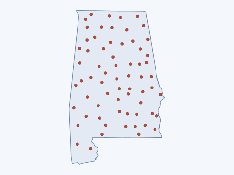 Alabama6,904 records in 66 counties
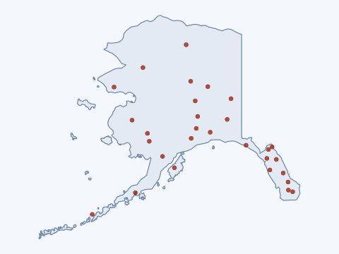 Alaska13,457 records in 29 counties
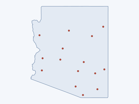 Arizona42,133 records in 15 counties
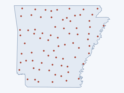 Arkansas5,635 records in 75 counties
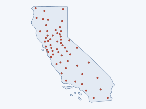 California76,504 records in 58 counties
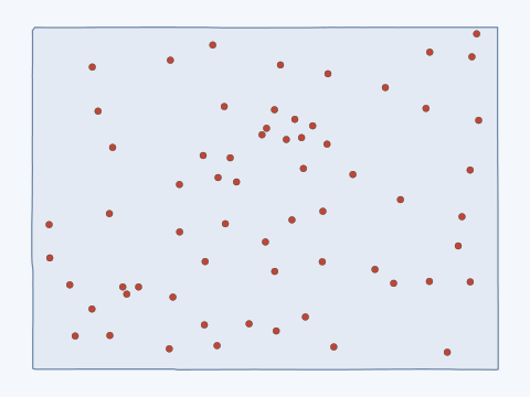 Colorado48,592 records in 64 counties
 Connecticut0 records in 0 counties
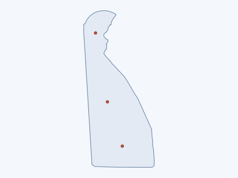 Delaware257 records in 3 counties
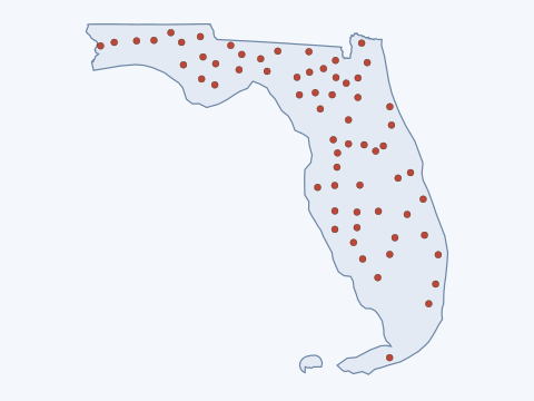 Florida2,943 records in 65 counties
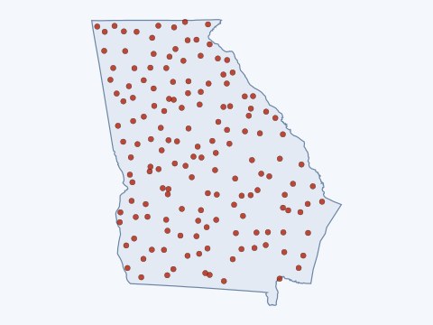 Georgia3,752 records in 154 counties
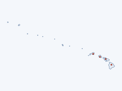 Hawaii318 records in 4 counties
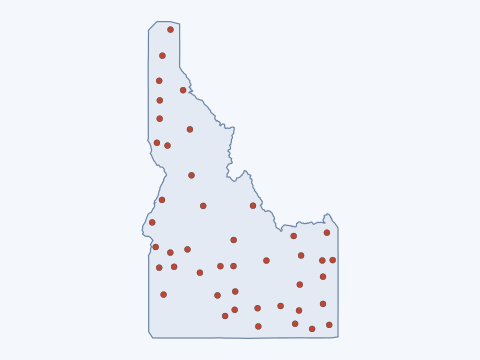 Idaho20,681 records in 44 counties
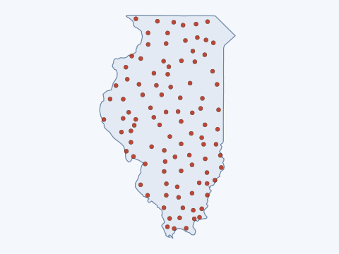 Illinois5,279 records in 101 counties
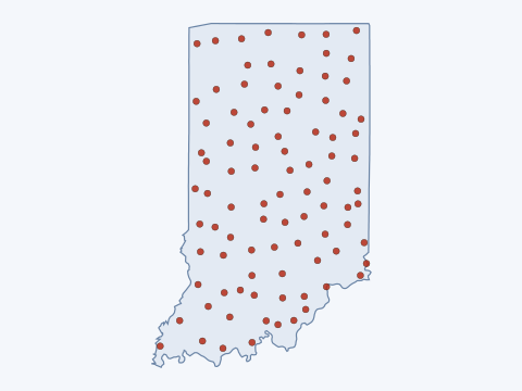 Indiana2,737 records in 91 counties
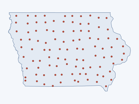 Iowa5,908 records in 99 counties
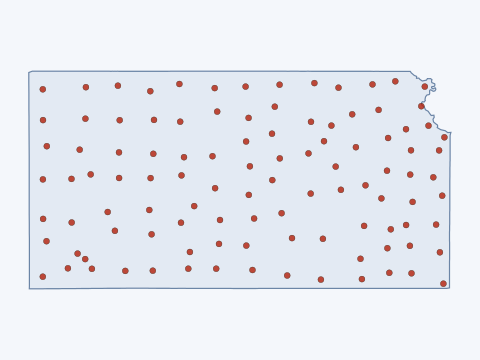 Kansas4,833 records in 105 counties
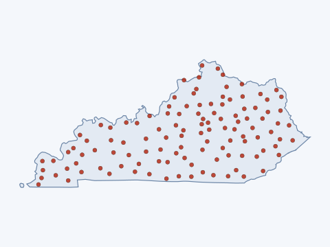 Kentucky12,717 records in 116 counties
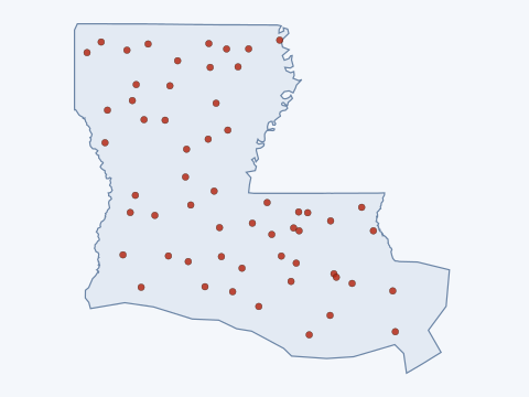 Louisiana1,886 records in 58 counties
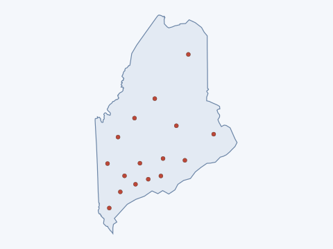 Maine5,595 records in 16 counties
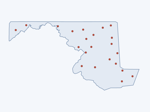 Maryland1,817 records in 22 counties
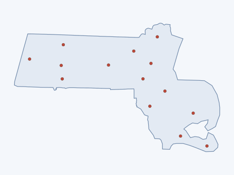 Massachusetts2,809 records in 14 counties
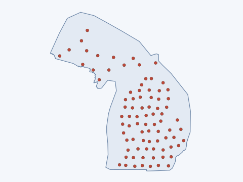 Michigan11,428 records in 83 counties
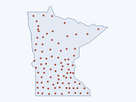 Minnesota11,324 records in 87 counties
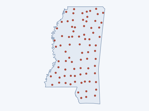 Mississippi4,657 records in 81 counties
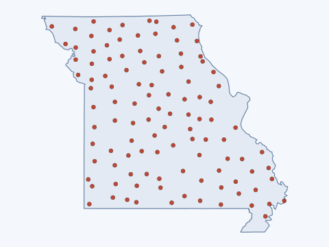 Missouri16,678 records in 109 counties
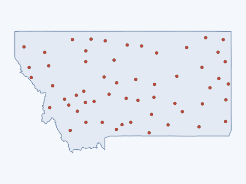 Montana26,767 records in 56 counties
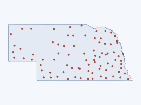 Nebraska1,762 records in 83 counties
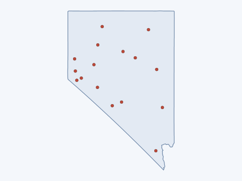 Nevada112,894 records in 16 counties
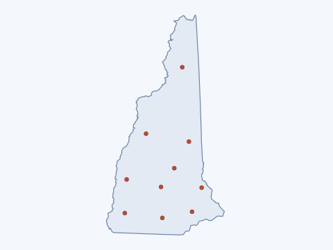 New Hampshire2,520 records in 10 counties
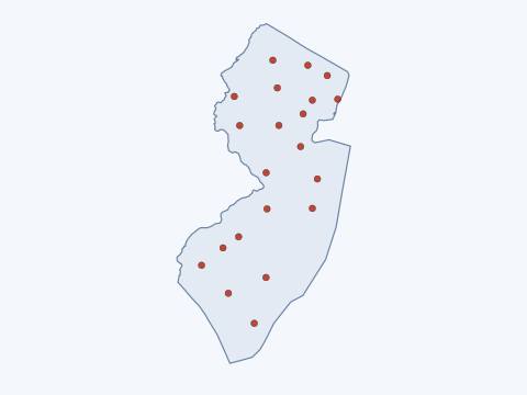 New Jersey2,701 records in 21 counties
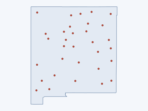 New Mexico20,662 records in 32 counties
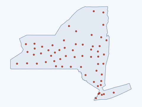 New York7,479 records in 60 counties
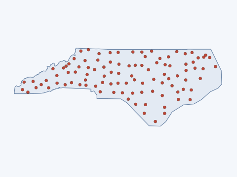 North Carolina6,198 records in 100 counties
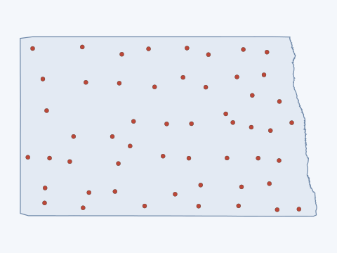 North Dakota4,417 records in 53 counties
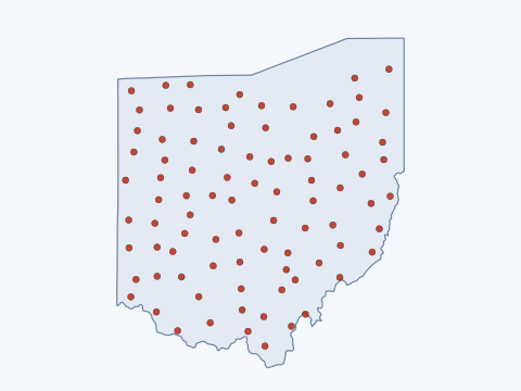 Ohio4,236 records in 88 counties
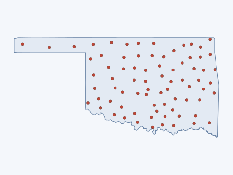 Oklahoma7,961 records in 77 counties
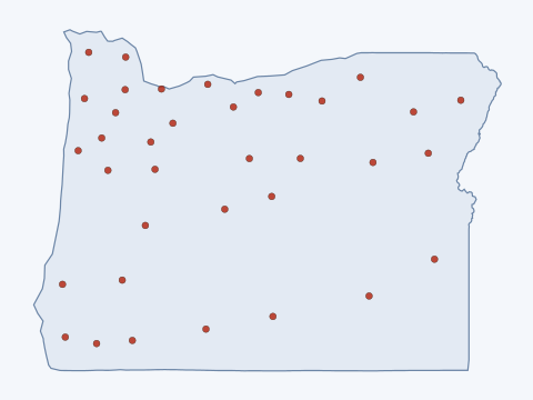 Oregon25,370 records in 36 counties
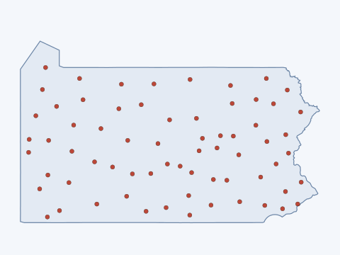 Pennsylvania9,046 records in 67 counties
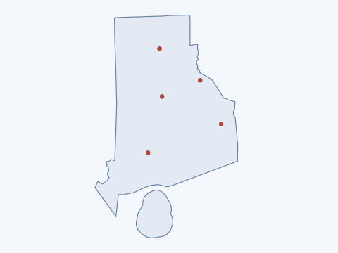 Rhode Island271 records in 5 counties
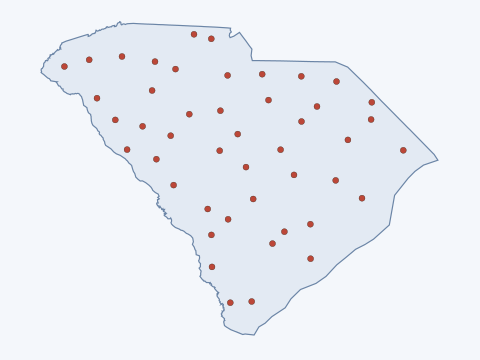 South Carolina1,735 records in 46 counties
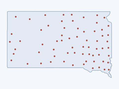 South Dakota5,928 records in 66 counties
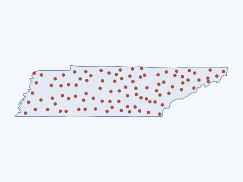 Tennessee8,106 records in 94 counties
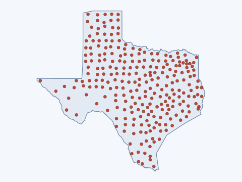 Texas23,969 records in 254 counties
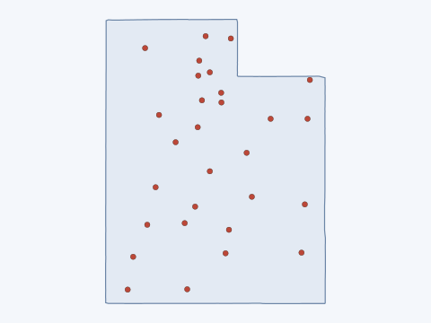 Utah26,891 records in 29 counties
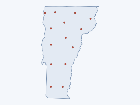 Vermont1,732 records in 14 counties
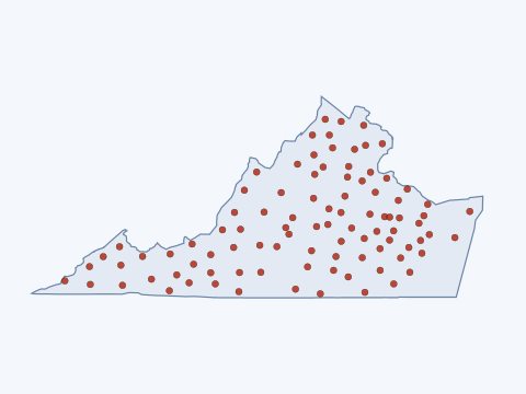 Virginia8,916 records in 94 counties
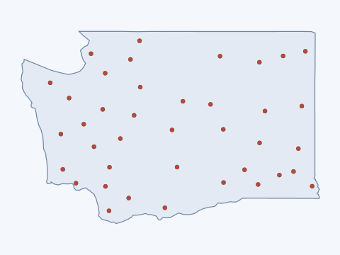 Washington18,639 records in 39 counties
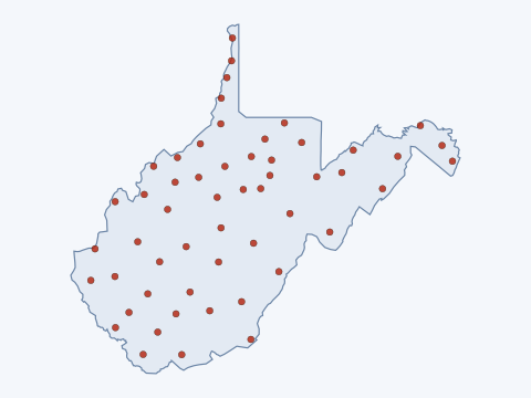 West Virginia4,448 records in 54 counties
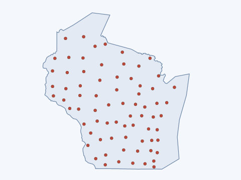 Wisconsin14,068 records in 72 counties
 Wyoming10,862 records in 23 counties
Who actually knows this subject
Below the state offices sits the research layer: the federal mining research laboratories, the university departments that study ground control and subsidence, and the national bodies abroad that run the programmes the United States does not. Every page was opened before it was listed. A person is named only where that body names them in the role on its own page, and the page is linked, because names go stale and the office does not.
Federal and national, United States
- NIOSH Mining ProgramNational Institute for Occupational Safety and Health, CDC. The federal mine safety research programme, with its Office of Mine Safety and Health Research and the Pittsburgh and Spokane research divisions, that studies ground falls, pillar collapse and roof support and publishes its findings and tools free of charge.
- NIOSH Pittsburgh Mining Research Division (PMRD)National Institute for Occupational Safety and Health, CDC. Runs the Mine Roof Simulator for full size roof supports and the Safety Research and Experimental Coal Mines near Pittsburgh, and does field research on ground control at mines across the country. Named on its own page: Stephen G. Sawyer, Jr., PhD, Director, Pittsburgh Mining Research Division.
- NIOSH Spokane Mining Research Division (SMRD)National Institute for Occupational Safety and Health, CDC. Tests rock, cemented backfill, shotcrete and ground support in its support and rock properties laboratory and does field research at mines, with a western and hard rock focus. Named on its own page: Doug Johns, PhD, Director, Spokane Mining Research Division.
- NIOSH Mining and Ground Falls topic pageNational Institute for Occupational Safety and Health, CDC. Plain language summary of the ground fall and ground control research, roof and rib falls, pillar collapse and slope failure, with the numbers a reporter can quote and links to the research behind them.
- USGS Mineral Resources ProgramU.S. Geological Survey. The USGS programme that funds and publishes the national mineral deposit and mine feature data, including the USMIN and MRDS files behind the address search on our page.
- USGS topoView, historical topographic mapsU.S. Geological Survey, National Geologic Map Database. Free viewer and download of the historical USGS topographic map collection, where the old shaft, adit and mine dump symbols for a place can be seen and compared across map editions.
- OSMRE Reclaiming Abandoned Mine LandsOffice of Surface Mining Reclamation and Enforcement, Department of the Interior. The Title IV programme under SMCRA that funds state and tribal reclamation of hazards left by coal mines abandoned before 1977, with the AML awards, AMLER and e-AMLIS pages hanging off it.
- OSMRE Technical Innovation and Professional Services (TIPS)Office of Surface Mining Reclamation and Enforcement, Department of the Interior. Supplies and trains the state, tribal and federal mining offices in the scientific, geospatial and engineering software used to review mine permits and reclamation, which is where the technical staff behind a state mine map office learn their tools.
- OSMRE National Technical Training Program (NTTP)Office of Surface Mining Reclamation and Enforcement, Department of the Interior. Since 1985 the training programme in geology, engineering, hydrology and blasting for federal, state and tribal mining personnel, with its courses and the Career Series Guide listed.
- MSHA Mine Data Retrieval SystemMine Safety and Health Administration, Department of Labor. Federal record of every mine with a mine ID, operator, status, inspections and accidents, which gives the operator and dates for a mine that was still working after 1970.
- BLM Abandoned Mine Lands programBureau of Land Management, Department of the Interior. The programme for physical safety and environmental hazards at abandoned hard rock mines on BLM public land in the western states, the office to reach when an old working sits on federal land.
- US Forest Service Abandoned Mine LandsUSDA Forest Service, Minerals and Geology Management. Minerals and Geology Management restores land disturbed by historic mining on the national forests, 188 million acres mostly in the West, and is the office for a hazardous opening on forest land.
- EPA Abandoned Mine LandsU.S. Environmental Protection Agency, Superfund. Where the contamination side of an old mine is handled: Superfund investigation and cleanup at abandoned mine sites, with the policy, guidance and technical resources EPA uses.
- National Park Service Abandoned Mineral LandsNational Park Service, Department of the Interior. The park service inventory of about 38,000 abandoned mineral land features inside the national parks and the programme that closes or reclaims them.
- Committee on Earth ResourcesNational Academies of Sciences, Engineering, and Medicine, Board on Earth Sciences and Resources. Standing committee since 1991 on energy and mineral resources, the health and safety of the mining workforce and the stewardship of mined land, the body behind National Academies reports on these subjects.
- OneMine digital librarySociety for Mining, Metallurgy and Exploration (SME). The mining professional society's digital library of more than 147,000 technical papers and books from 15 societies, where published subsidence and ground control research can be found and cited.
- Geo-Institute publicationsGeo-Institute of the American Society of Civil Engineers. The geotechnical institute of ASCE, whose Geotechnical Special Publications carry the peer reviewed guidelines and technical reports of its committees.
- Interstate Mining Compact Commission (IMCC)Interstate Mining Compact Commission. The compact of state mining regulators, with its member states, publications including the IMCC and NAAMLP hardrock report, and the officers who speak for the state programmes.
- National Association of Abandoned Mine Land Programs (NAAMLP)National Association of Abandoned Mine Land Programs. The association of the state and tribal abandoned mine land programmes, with its newsletter, awards and meetings, where a reporter finds the people who run reclamation in every coal state.
- State Geological Surveys directoryAssociation of American State Geologists (AASG). Address, phone and email of every state geological survey, the office that holds the geology and often the mine records of a state.
Universities and state surveys inside them
- Department of Energy and Mineral EngineeringPenn State University. The John and Willie Leone Family Department of Energy and Mineral Engineering, home of the Penn State mining engineering programme, at the university that hosts the Pennsylvania Mine Map Atlas at minemaps.psu.edu.
- Mining Engineering at West Virginia UniversityWest Virginia University, Statler College of Engineering and Mineral Resources. The mining engineering department, over 150 years old, teaching and researching the science, safety and technology of mineral extraction and processing.
- National Mine Land Reclamation CenterWest Virginia University, West Virginia Water Research Institute. Authorised by Congress in 1988 to work on acid mine drainage, prime farmland restoration, subsidence control and groundwater degradation at active and abandoned coal mines.
- Department of Mining and Minerals EngineeringVirginia Tech. Department with more than 130 years of mining engineering teaching and research, including its center for autonomous mining and a part in a $73 million Department of Energy mine of the future initiative.
- Virginia Center for Coal and Energy Research (VCCER)Virginia Tech. Interdisciplinary centre created by an act of the Virginia General Assembly in 1977 for coal and energy research, environmental concerns and policy advice to the state.
- School of Minerals and Subsurface EnergyColorado School of Mines. The school that now holds the Mines mining engineering programme, working across mining, petroleum, geoscience and subsurface engineering on the full life cycle of a mineral resource; the Colorado Geological Survey is a state agency housed at the same school.
- Mining and Explosives EngineeringMissouri University of Science and Technology. Department teaching mining and explosives engineering for every kind of mine, from aggregates and industrial minerals to metals, lithium and rare earths.
- Department of Mining EngineeringUniversity of Kentucky. Department funded by the Department of Energy, the Alpha Foundation and NIOSH for research on rare earth recovery, autonomous underground mining systems and protection against coal mine explosions.
- Kentucky Geological SurveyUniversity of Kentucky. The state survey, part of the University of Kentucky since 1948, with staff in landslide monitoring, hydrogeology, mineral resources and environmental geology, labs and real time hazard monitoring. Named on its own page: Mike McGlue, State Geologist and KGS Director.
- KGS GeoPortal, Known Coal Mined Out Areas layerKentucky Geological Survey, University of Kentucky. The survey's map gateway with the Known Coal Mined Out Areas and historical mines layer from the state mine mapping system over topographic and aerial base maps.
- Illinois State Geological Survey, coal geologyUniversity of Illinois, Prairie Research Institute. The survey's coal geology work: about 201,000 acres of residential and built up land in Illinois lie close to roughly 5,500 underground coal mines, and the survey runs the ILMINES viewer so an owner can check the distance to one.
- Department of Mining EngineeringUniversity of Utah. The mining engineering department at the University of Utah, with undergraduate and graduate programmes and a FAQ on what mining engineers do.
- Department of Mining EngineeringMontana Tech. Department in Butte with the nation's only on campus underground mine, training specialists in mine design, blasting, rock mechanics and ventilation; the Montana Bureau of Mines and Geology, the state survey, is on the same campus.
- School of Mining Engineering and Mineral ResourcesUniversity of Arizona. School with the San Xavier student mine, in the state that produces the most copper; the Arizona Geological Survey, which holds the state mining data, is part of the same university.
- Mining Engineering, College of Engineering and MinesUniversity of Alaska Fairbanks. The northernmost accredited mining engineering programme, hard rock focused, with expertise in Arctic conditions and placer mining and a student chapter of SME.
- Department of Geological and Mining Engineering and SciencesMichigan Technological University. Department working from field to lab on natural resource management, disaster mitigation and infrastructure design, in the old copper and iron country of the Upper Peninsula.
- Department of Mining and Metallurgical EngineeringUniversity of Nevada, Reno. The state's mining engineering department; the Nevada Bureau of Mines and Geology, with the state's mining records, is at the same university.
- Department of Mining Engineering and ManagementSouth Dakota Mines. Department in Rapid City with a Mining Safety and Health Training programme alongside its degrees, in the Black Hills mining district.
- Department of Mineral EngineeringNew Mexico Tech. One of the oldest departments at New Mexico Tech, teaching mineral engineering; the New Mexico Bureau of Geology and Mineral Resources, the state survey with the mines database, is on the same campus.
Outside the United States: the countries with an address level service
The United Kingdom is the model: a government address check and a mining report that lists every mine entry within 20 metres of a property boundary, a 24 hour hazard line, a damage claim route and a public map. New South Wales runs the nearest equivalent in Australia.
- Mining Remediation AuthorityUK Government (formerly the Coal Authority). The public body that holds the coal mining records of Britain, answers mining reports on a property, repairs subsidence damage and takes hazard reports around the clock.
- Find out if a property is affected by coal miningMining Remediation Authority, GOV.UK. The address level check and the mining report order, which lists mine entries within 20 metres of a property boundary, gas emissions and other recorded coal mining hazards.
- Report a coal mine hazardMining Remediation Authority, GOV.UK. The 24 hour line, 0800 288 4242, for a collapsed mine or entrance, gas or water from an abandoned mine, an unsealed entrance or a hole in the ground.
- Claim for subsidence damage caused by coal miningMining Remediation Authority, GOV.UK. How a householder claims for structural damage from coal mining subsidence with a damage notice form sent to the Authority, with a surveyor's cost recoverable when the claim succeeds.
- Access coal mining information and dataMining Remediation Authority, GOV.UK. Guide to the Authority's records: more than 120,000 coal abandonment plans, some from the 17th century, 47,000 British Coal photographs, the coal holdings register and the licence register.
- Planning applications and Coal Mining Risk AssessmentsMining Remediation Authority, GOV.UK. The rule that development in the Development High Risk Area needs a Coal Mining Risk Assessment, with the planning advice service enquiry form.
- Mining Remediation Authority Map ViewerMining Remediation Authority. The Authority's public map of its planning, coal mining, mine water heat and metal mine data in the browser.
- Mining hazard (not including coal)British Geological Survey. Research and dataset on underground workings for more than 60 commodities other than coal, from tin and lead to building stone, the gap the coal records do not cover.
- BGS GeoIndex (onshore)British Geological Survey. The free map index of BGS datasets, boreholes, geology and hazard layers, for anyone who wants the ground record under a place in Great Britain.
- Australian Mines AtlasGeoscience Australia. The national map of operating mines, mineral deposits and resource data kept by Geoscience Australia, listed among its online tools.
- Subsidence Advisory NSWNew South Wales Government. The state agency for owners in areas where underground coal mining subsidence may occur, with a 24 hour emergency line, 1800 248 083, for holes and damage, and an online portal for claims and approvals.
- Mine Subsidence DistrictsSubsidence Advisory NSW. What a declared district is, how to check a property against it, and the rule that any damaged home in NSW is eligible for compensation when its approvals were in order.
- Check if a property is in a Mine Subsidence DistrictService NSW. The address check for a Mine Subsidence District under the Coal Mine Subsidence Compensation Act 2017 and the approval needed before building or subdividing inside one.
- Abandoned Mine Lands ProgramQueensland Government. Queensland's programme for assessing and remediating abandoned mines, with the online form, email and phone for reporting an abandoned mine site.
- Abandoned Mines ProgramWestern Australian Department of Mines, Petroleum and Exploration. The programme that rehabilitates abandoned mine features, tens of thousands across the state since the 1800s, paid for from the Mining Rehabilitation Fund.
- Former Mines ProgramSouth Australian Department for Energy and Mining. The programme set up to document and risk rank former mines in South Australia, with pages on the Radium Hill and Brukunga sites.
- Rehabilitation Trust FundMineral Resources Tasmania. The Tasmanian fund for rehabilitating abandoned mining land and land affected by former exploration, administered by the state's mineral resources office.
- Geological Survey of CanadaNatural Resources Canada. Canada's national organisation for geoscientific information and research, whose minerals and hazards work supports the mining sector and land use decisions, with divisions for Atlantic, Calgary, Central, Northern and Pacific Canada. Named on its own page: Sonia Talwar, Director General, Geological Survey of Canada.
- Abandoned Mines Information System (AMIS)Government of Ontario, Ministry of Mines. Ontario's database of known abandoned mine sites and mine hazard features on Crown and private land, published as open data with a ministry contact.
- OGSEarthOntario Geological Survey. The Ontario Geological Survey's downloadable map layers, with Abandoned Mines first in the provincial list.
- Abandoned Mine Openings (AMO) DatabaseNova Scotia Department of Natural Resources, Geoscience and Mines Branch. An inventory of the surface expressions of abandoned underground workings in Nova Scotia, with the warning that undocumented openings exist and a note of how new ones are added.
- Reclamation of an abandoned mine siteGouvernement du Quebec. How the Quebec government takes over and reclaims abandoned mine sites under its responsibility, with the work plan, the money invested and examples of restored sites.
- MINFILE Mineral InventoryBritish Columbia Geological Survey. The provincial inventory of 16,261 mineral occurrences, searchable by name, map sheet and status including past producer, which is the British Columbia record of old mines.
- Research Center of Post-Mining (Forschungszentrum Nachbergbau)Technische Hochschule Georg Agricola, Bochum. The research centre on what happens after mining stops, from the closure of a mine to the later use of the land, publishing in English from the Ruhr coalfield.
- Department of Geology and Geophysics and Surface ProtectionCentral Mining Institute, National Research Institute (GIG-PIB), Katowice. The institute's department with laboratories for mining geophysics, geodesy and geomatics, and the protection of structures in mining areas, with each laboratory head, email and phone listed. Named on its own page: Adam Lurka, Head of Department.
- DIAMO, state enterpriseCzech Republic, state enterprise at Straz pod Ralskem. The state enterprise that mitigates the consequences of uranium, ore and part of the coal mining in the Czech Republic on behalf of the state.
Where these numbers come from
Two federal files are read. The USGS Mineral Resources Data System is the file of named mines, prospects and mineral occurrences, 304,632 records, 274,114 with a position; a site counts as old here when that file calls it a past producer, a prospect or an occurrence rather than a producing mine. That file holds almost no coal: 157 coal records in the whole country and none at all in Pennsylvania, West Virginia or Illinois, so on its own it would show Scranton with one sand pit. The USGS topographic mine features file fills that gap: 466,747 shafts, adits, mine entrances, pits and quarries digitised from the historical topographic sheets, each one carrying the sheet name and the year it was surveyed, 97,226 of them underground openings. The town and county boundaries come from the Census Bureau TIGER files, and every point was placed by its own coordinates.
Neither file is the mine map. A topographic sheet shows the opening on the surface, not the rooms under it, and the mineral file shows a deposit, not a parcel line. The state offices above hold the maps.
- USGS topographic mine features (USMIN)Shafts, adits, pits and mines digitised from the historical topographic sheets
- USGS Mineral Resources Data SystemThe federal mine file, with a record page for every site
- Census Bureau TIGER boundary filesThe city, town and county boundaries used to place each site
For newsrooms
The finding, the method, its limits and the data, on one page you can quote and check.